
Nepomuk-Allee in Traunreut
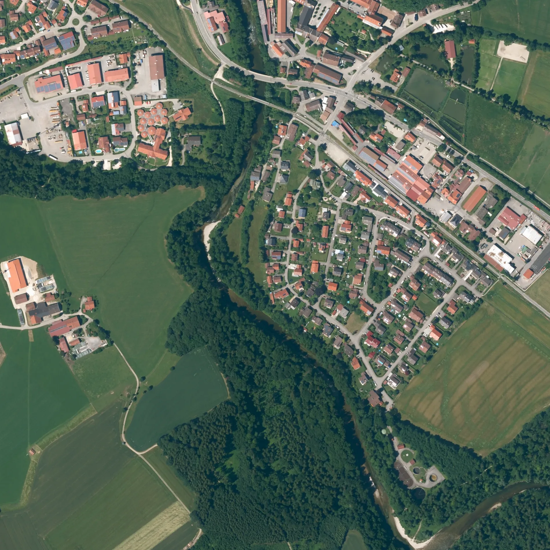
Die Nepomuk-Allee in Traunreut ist ein Feldweg (Schotterweg). In der Umgebung befindet sich ein Gotteshaus. Die nächste Bushaltestelle in der Nähe ist Stein, Gh. Martini (ca. 100 m entfernt).
- Straßentyp
- Feldweg
Bild
Gotteshäuser
Straßen in der Umgebung
HauptstraßeHöhe, Metzgerei Trinkberger, Flotte Klamotte, Burgführung, Stein an der Traun, Bäckerei Lehrbach, Stein, Gh. Martini, Matzing, Baruli Kaffeerösterei, Matzing Abzw Traunreut, Wallner
150 m
SchloßhofSchlosskapelle
150 m
FischergasseProfessionelle Fußpflege Picherer, Stein (Traun)
250 m
Pallinger StraßeBurg Stein
250 m
Birkenweg300 m
BahnhofstraßeStein (Traun), Matzing
300 m
Fabrikstraße350 m
Graf-Arco-Straße400 m
LeuchtenbergwegStein an der Traun
450 m
Herzog-Nikolaus-Straße450 m
Traunfeldstraße500 m
Graf-Toerring-Straße500 m
Berndl500 m
Traunuferweg500 m
Berndlring500 m
Am Steinanger500 m
Grassacher Straße550 m
Kreidlberg600 m
SeilerstraßeAltenmarkt Seilerstraße
600 m
Hochgernstraße650 m
FärberstraßeOtto Seidl
650 m
UntersbergstraßeFasanenjäger
700 m
Adalbert-Stifter-Straße700 m
Hochfellnstraße700 m
Traunsteiner StraßeEdeka Böhr, Altenmarkt, Bachmann, Grassach, Weiglpoint Abzw Seebruck
700 m
BurgbergRoitham, Galerie Töpferei Gruberhof, Burgberg
700 m
StaufenwegMVZ am Traunring
750 m
Sonntagshornstraße800 m
Steiner Straße850 m
RauschbergstraßeValentina's Haarschnitte
850 m
Kienbergstraße950 m
Wendelsteinstraße1000 m
Watzmannstraße1000 m
Autohäuser in der Umgebung
Autohaus Schwarz GmbH450 m
Autohaus Georg Meindl e.K.600 m
Autowerkstätten in der Umgebung
Autohaus Neuhauser150 m
Baumärkte in der Umgebung
Geyer Holz250 m
Bäche in der Umgebung
Anninger Bacherl1,0 km
Gebäude in der Umgebung
Schlossbrauerei Stein100 m
Burg Stein150 m
THW Ortsverband Traunreut450 m
Gewerbegebiete in der Umgebung
Ausstellungsfläche Geyer Holz200 m
Industriegebiete in der Umgebung
Streicher500 m
Kanäle in der Umgebung
Steiner Mühlbach200 m
Restaurants in der Umgebung
Steiner Bräustüberl100 m
Il Camino600 m
Schulen in der Umgebung
Schule Schloss Stein150 m
Sozialeinrichtungen in der Umgebung
Wohnheim Altenmarkt450 m
Förderstätte Altenmarkt500 m
 ÖPNV-Stadtplan Traunreut Legende
 | Bahn | |
| Bus | |
| Straßenbahn |
 Fahrradstadtplan Traunreut Legende
 | Radweg | |
| Fahrradspur auf der Fahrbahn | |
| Radfahren auf der Busspur | |
| Fahrradstraße | |
| Für Radfahrer frei | |
| Für Radfahrer frei, guter Weg | |
| Radfahren verboten | |
| Kopfsteinpflaster |
| Fernradweg | (je nach Maßstab) | |
| Fernradweg |
 Fußgängerstadtplan Traunreut Legende
 | Pfad |
| Fernwanderweg | (je nach Maßstab) | |
| Fernwanderweg | ||
| Fußgänger verboten |