
Geisenhausener Straße in Schweitenkirchen
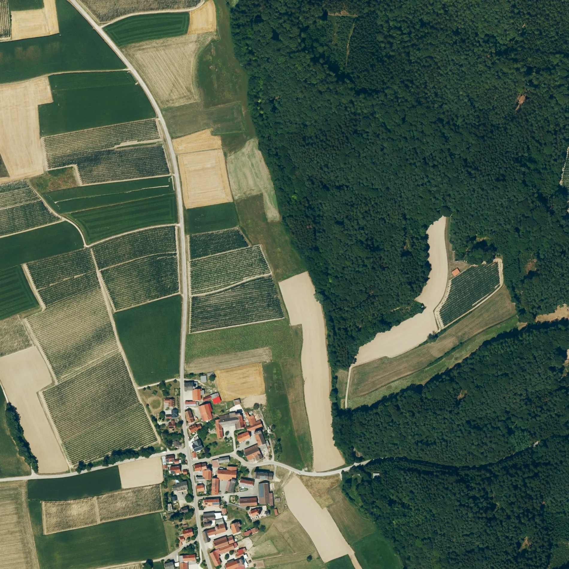
Die Geisenhausener Straße in Schweitenkirchen ist eine asphaltierte Kreisstraße (50 km/h). Sie verläuft in Nord-Süd-Richtung und kreuzt den Eichenweg, die Straße Zum Grund, den St.-Stefan-Weg und das Buchfeld. Sie endet in einer Sackgasse. Die nächste Haltestelle ist Preinerszell. Hier hält die Buslinie Rufbus Schweitenkirchen. Diese Straße ist Teil von Fahrradroute „Feierabendstrampler Ost 🔗".
- Straßentyp
- Kreisstraße
- Höchstgeschwindigkeit
- 50
- Verlauf
- Nord-Süd
Bild
Bushaltestellen
- Buslinien Rufbus Schweitenkirchen
Straßen in der Umgebung
St.-Stefan-WegSt. Stephan
50 m
Buchfeld100 m
Eichenweg150 m
Zum GrundPreinerszell
150 m
BirketbaurBirketbaur
700 m
Preinerszeller Straße800 m
AignAign
950 m
BettermacherBettermacher
1,0 km
BlaslBlasl
1,3 km
LindenstraßeGroßarreshausen
1,6 km
AnsheristraßeKleinarreshausen
1,6 km
Meisenweg1,6 km
KastlwegKleinarreshausen
1,7 km
Kapellenweg1,7 km
AltkaslehenAltkaslehen
1,7 km
Kysostraße1,7 km
Birkenweg1,8 km
Hallertauer StraßeGroßarreshausen
1,8 km
Riedstraße1,9 km
Bachgrund2,0 km
Am Asbach2,0 km
RömerstraßeFrickendorf
2,0 km
Blumenau2,0 km
Wiesengrund2,0 km
Birkenloh2,0 km
St.-Georg-Straße2,0 km
Wolnzacher StraßeDürnzhausen, Maibaum
2,0 km
NeuenbergFrickendorf
2,1 km
Eichelberg2,1 km
TeorunistraßeDürnzhausen, Feuerwehr-Gerätehaus, Ersthelfer-Stützpunkt
2,1 km
Kirchberg2,1 km
Am Berg2,2 km
Schmiedweg2,2 km
HolledaustraßeGeisenhausen, Schulbus
2,2 km
QuellbergKFZ Fuchs
2,2 km
Nürnberger Straße2,2 km
Auenstraße2,3 km
MoosmühleMoosmühle
2,4 km
Bauflächen in der Umgebung
Neubaugebiet2,0 km
Bäche in der Umgebung
Preinerszeller Bach550 m
Arreshausener Bach1,5 km
Hallerbach2,0 km
Geisenhausener Bach2,1 km
Feuerwachen in der Umgebung
Freiwillige Feuerwehr Geisenhausen2,2 km
Gebäude in der Umgebung
Feuerwehr, Wirtshaus, Schützenverein2,1 km
Burschenverein Dürnzhausen2,1 km
Gotteshäuser in der Umgebung
Kapelle zur schmerzhaften Mutter Gottes1,5 km
St. Georg2,1 km
St. Emmeram2,3 km
 ÖPNV-Stadtplan Schweitenkirchen Legende
| Bahn | |
| Bus | |
| Straßenbahn |
 Fahrradstadtplan Schweitenkirchen Legende
| Radweg | |
| Fahrradspur auf der Fahrbahn | |
| Radfahren auf der Busspur | |
| Fahrradstraße | |
| Für Radfahrer frei | |
| Für Radfahrer frei, guter Weg | |
| Radfahren verboten | |
| Kopfsteinpflaster |
| Fernradweg | (je nach Maßstab) | |
| Fernradweg |
 Fußgängerstadtplan Schweitenkirchen Legende
| Pfad |
| Fernwanderweg | (je nach Maßstab) | |
| Fernwanderweg | ||
| Fußgänger verboten |