
Wildbad Kreuth
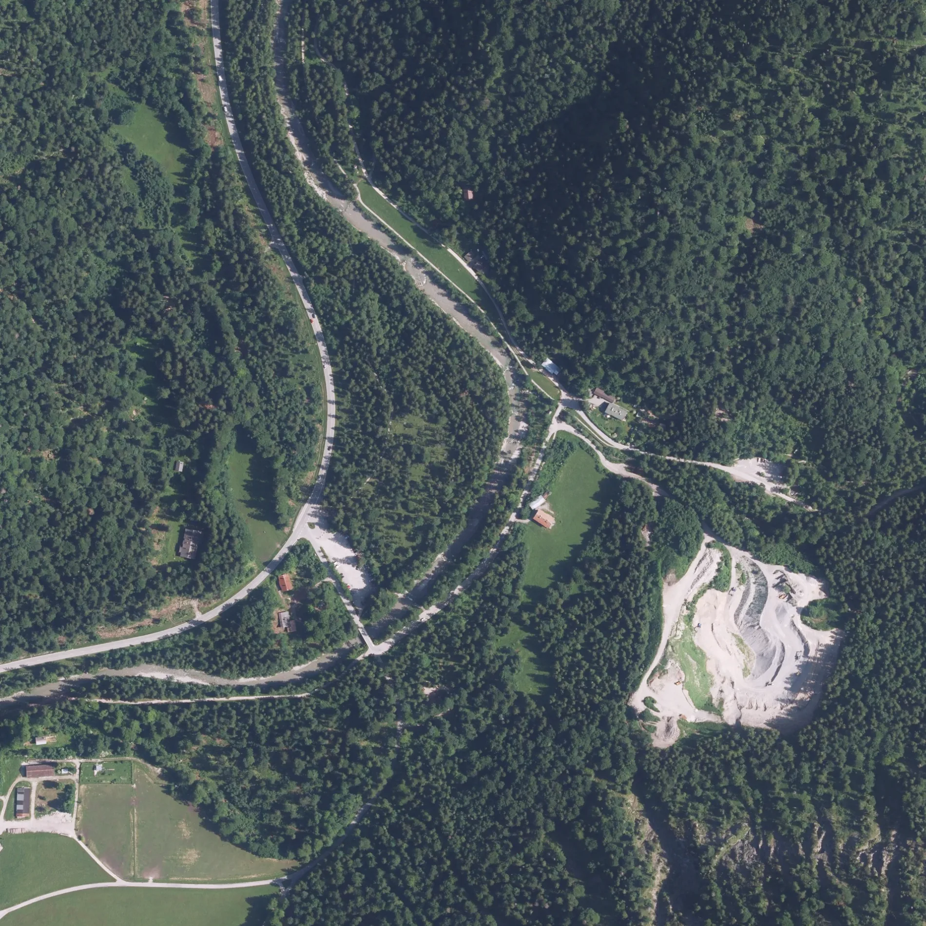
Wildbad Kreuth in Kreuth ist eine asphaltierte nicht klassifizierte Straße. Es ist kein Radweg vorhanden. Diese Straße liegt an den Wanderwegen Siebenhütten und Die Alpenüberquerung - Etappe 1 sowie der Fahrradroute „München - Venezia - Teil Deutschland 2b 🔗". In der Umgebung befindet sich unter anderem ein Restaurant. Die nächste Haltestelle in der Nähe ist Kreuth, Wildbad Kreuth (ca. 150 m entfernt).
- Straßentyp
- nicht klassifizierte Straße
Bild
Restaurants
Straßen in der Umgebung
Sepp-Resch-WegBike Trail Langenau
600 m
Kiem Pauli Weg1,1 km
Südliche HauptstraßeKreuth, Enterfels, Kreuth, Kreuth, Riedlerbrücke, Kreuth, Raineralm
1,4 km
Grüneckweg1,6 km
Retzlweg1,6 km
Langerweg1,7 km
RaineralmwegBike Trail Langenau, Beschreibungstafel "Die Schanz"
1,7 km
Felserweg1,7 km
Dr.-Wilhelm-May-StraßeKreuth, Enterfels
1,7 km
Leonhard-Meßner-Weg1,7 km
Jacklweg1,8 km
BremerwegKreuth, Enterfels, Kreuth, Wildbad Kreuth, Wildbad Kreuth Wohnmobilstellplatz, Kreuth, Riedlerbrücke
1,8 km
Thomaweg1,8 km
Setzbergweg1,8 km
Am RiedlerbergRiedlern
1,8 km
Bäche in der Umgebung
Hohlensteinbach1,3 km
Rötzelleitengraben1,4 km
Sagenbach1,6 km
Gerlosbach1,8 km
Staudenbach1,8 km
Großer Lindengraben1,8 km
Riedlerner Graben1,8 km
Zobelleitengraben1,8 km
Zwieselgraben2,0 km
Einrichtungen in der Umgebung
Wildfütterung1,1 km
Felsen in der Umgebung
Pförnwand1,9 km
Ferienhäuser in der Umgebung
Oberhofer Alm2,1 km
Weissach-Alm2,1 km
Ferienwohnungen in der Umgebung
Ferienwohnung Tegernsee1,4 km
Flüsse in der Umgebung
Weißach1,1 km
Hofbauernweißach1,6 km
Gebäude in der Umgebung
Kunstschmiede Florian Schneider1,4 km
Zimmerei Georg Hagn1,4 km
Schreinerei Rohnbogner1,4 km
Schützenhaus1,5 km
Leonhardstoana Hof1,6 km
Burschenschaftshaus1,6 km
Gotteshäuser in der Umgebung
Heilig Kreuz700 m
Hütten in der Umgebung
Hohensteinalm1,4 km
Enterfelser Alm1,5 km
Minigolfanlagen in der Umgebung
Toni's1,8 km
Restaurants in der Umgebung
Fischimbiß900 m
Schwaiger Alm900 m
Il Casale1,8 km
Sportplätze in der Umgebung
FC Real Kreuth1,6 km
Wohngebiete in der Umgebung
Schanz100 m
Raineralm950 m
Sonstiges in der Umgebung
Grüneck900 m
Riedlern1,8 km
 ÖPNV-Stadtplan Kreuth Legende
 | Bahn | |
| Bus | |
| Straßenbahn |
 Fahrradstadtplan Kreuth Legende
 | Radweg | |
| Fahrradspur auf der Fahrbahn | |
| Radfahren auf der Busspur | |
| Fahrradstraße | |
| Für Radfahrer frei | |
| Für Radfahrer frei, guter Weg | |
| Radfahren verboten | |
| Kopfsteinpflaster |
| Fernradweg | (je nach Maßstab) | |
| Fernradweg |
 Fußgängerstadtplan Kreuth Legende
 | Pfad |
| Fernwanderweg | (je nach Maßstab) | |
| Fernwanderweg | ||
| Fußgänger verboten |