
Grundnerweg in Kreuth
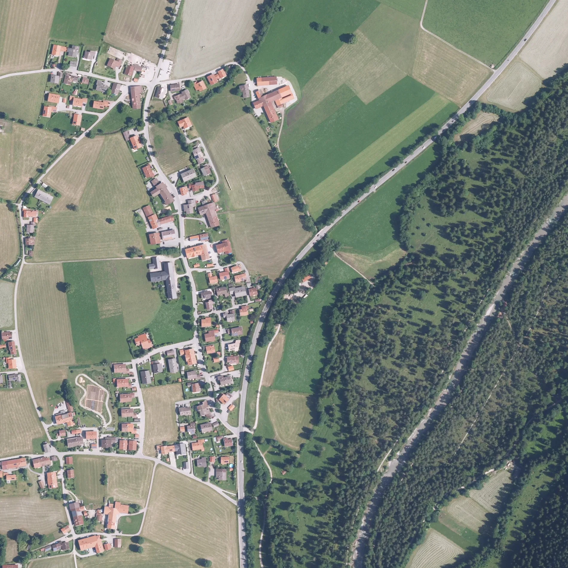
Der Grundnerweg in Kreuth ist eine asphaltierte Wohnstraße. Die nächste Haltestelle ist Kreuth-Scharling, Grundnerweg. Einen Grundnerweg gibt es auch in Landkreis Berchtesgadener Land.
- Straßentyp
- Wohnstraße
Bild
Bushaltestellen
Straßen in der Umgebung
Oettlweg100 m
Jodlweg200 m
Pointer Gasse250 m
Sterneckerweg350 m
DanzlwegFeuerhaus
350 m
Thomas-Baumgartner-WegGästehaus Stadler, Point
400 m
BachlerwegSkischule Tegernsee
500 m
Rauheckweg550 m
Fleischhackerweg550 m
Waldlehrpfad550 m
Pointer Brücke600 m
HirschbergwegLeiten
650 m
Weißachaustraße750 m
Im Steinbruch750 m
Hirschi-Trail800 m
Reit800 m
BrunnbichlBrunnbichl
800 m
Im Egerl850 m
Aibl-Alm950 m
Nördliche HauptstraßeSchärfen, Touristinformation, Kreuth, Riedlerbrücke, Marianne Strauß Brunnen, Kreuth, Rathaus, DJH Jugendherberge Scharling, Scharling, Gasthaus zum Hirschberg, Kreuth-Scharling, Grundnerweg, Kreuth-Scharling, Hirschbergweg, Auto-Reparatur, Abschleppdienst Heuberger
950 m
Schärfener WegSchärfen
1000 m
Schönetweg1,1 km
Moosbichlweg1,2 km
In der Haslpoint1,2 km
Marmorbruchweg1,3 km
HagngasseKreuth, Enterbach
1,3 km
Pförner GassePförn
1,4 km
Tegernseer StraßeGasthof zum Hagn, Kreuth, Enterbach, Kreuth, Oberhof/Naturkäserei, Leonhardi-Apotheke, Reitrain, Hair & Beauty, FelixEspressoBar - Erste Tegernseer Kaffeerösterei, Weißach Brücke, Schulbus-Hst.
1,5 km
KainederwegEnterbach
1,5 km
Gräfin-Schlippenbach-Weg1,6 km
Loipe Kreuth-Scharling1,6 km
Rathausweg1,8 km
Pfarrweg1,8 km
Am KirchbergKreuth, Schule, Hexenwald
1,8 km
MühlauerwegMühlau
1,8 km
In der WiedenWieden
1,9 km
Bäche in der Umgebung
Wiesengraben900 m
Bleichgraben1000 m
Lohbach1,0 km
Lahngraben1,5 km
Bäckereien in der Umgebung
Bäckerei Sanktjohanser1,8 km
Hotels in der Umgebung
Zur Post1,8 km
Pensionen in der Umgebung
Haus Kandlinger800 m
Rathäuser in der Umgebung
Rathaus Kreuth1,6 km
Restaurants in der Umgebung
Weissach-Alm650 m
Hirschbergalm700 m
Wirtshaus Aibl-Alm950 m
Sportzentren in der Umgebung
FC Real Kreuth1,5 km
Sonstiges in der Umgebung
Sonnenloipe Scharling-Oberhof900 m
 ÖPNV-Stadtplan Kreuth Legende
 | Bahn | |
| Bus | |
| Straßenbahn |
 Fahrradstadtplan Kreuth Legende
 | Radweg | |
| Fahrradspur auf der Fahrbahn | |
| Radfahren auf der Busspur | |
| Fahrradstraße | |
| Für Radfahrer frei | |
| Für Radfahrer frei, guter Weg | |
| Radfahren verboten | |
| Kopfsteinpflaster |
| Fernradweg | (je nach Maßstab) | |
| Fernradweg |
 Fußgängerstadtplan Kreuth Legende
 | Pfad |
| Fernwanderweg | (je nach Maßstab) | |
| Fernwanderweg | ||
| Fußgänger verboten |