
Maikäferstraße in Kirchheim bei München
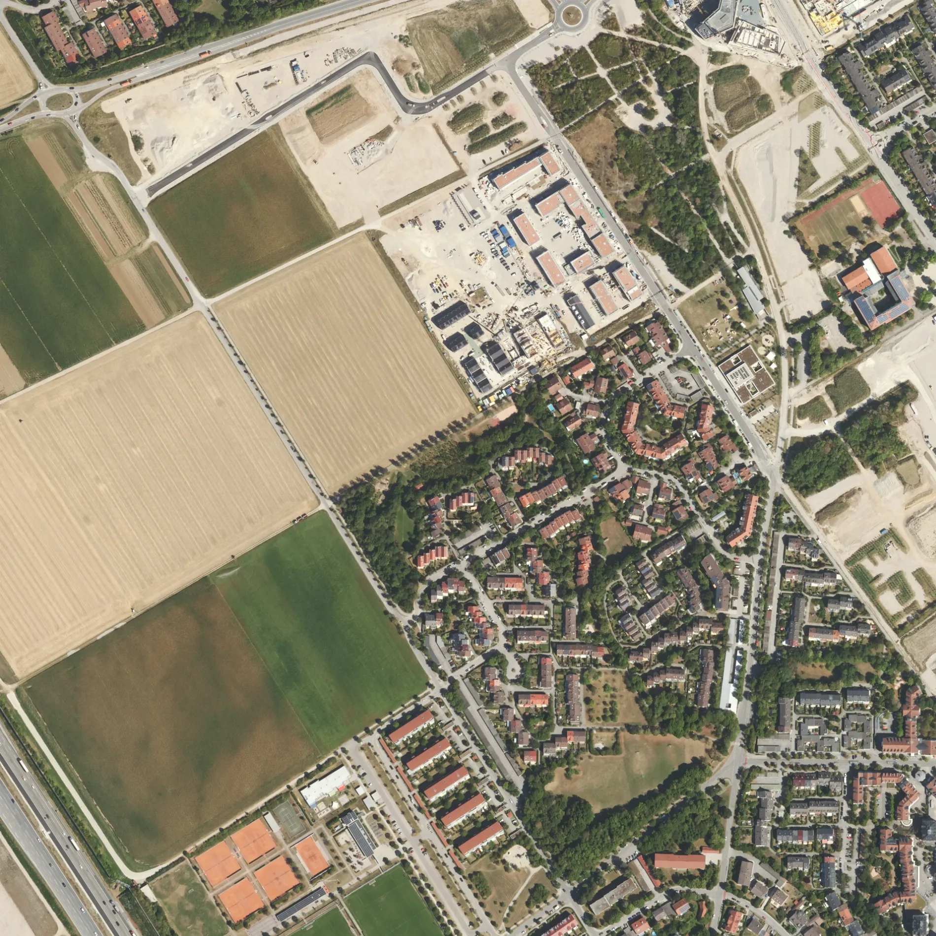
Die Maikäferstraße in Kirchheim bei München ist eine asphaltierte Wohnstraße. Die nächste Haltestelle in der Nähe ist Jugendzentrum (ca. 200 m entfernt).
- Straßentyp
- Wohnstraße
Bild
Parkplätze
Fahrschulen
Bushaltestellen
Kneipen
Sozialeinrichtungen
Sehenswürdigkeiten
Restaurants
Wäschereien
Straßen in der Umgebung
Schmetterlingsstraße100 m
Dompfaffgasse150 m
Bachstelzenweg150 m
Kleibergasse200 m
Zaunkönigring200 m
Möwenweg200 m
Kolibriweg200 m
Pelikangasse250 m
Bienenstraße250 m
Nachtigallenweg250 m
Kiebitzgasse300 m
Stieglitzgasse300 m
Reiherweg300 m
Taubenstraße300 m
Wachtelweg300 m
Flamingoweg300 m
Falkengasse300 m
Zeisiggasse300 m
HauptstraßeTom's Fahrschule A+B, Räterstraße, Blumenweg, vinothek, Metzgerei Böltl, Gasser-Hof-Laden, Schwarz Bestattungsdienst, Dr. med. Markus Heyenbrock, Parkallee, Jugendzentrum
350 m
Starenweg350 m
ParkalleeParkallee
350 m
DrosselwegVogelsiedlung
350 m
Rotkehlchenweg350 m
Amselweg350 m
Eichelhäherweg350 m
Krähenweg350 m
Schwalbenweg350 m
Finkenstraße400 m
Straußenweg400 m
Bussardring400 m
Kranichweg400 m
Kuckucksweg400 m
Buntspechtweg400 m
Adlerweg450 m
Blaumeisenweg450 m
Begonienweg450 m
Hausener HolzwegReisewelt24, Schülerhilfe
450 m
Asternweg450 m
Habichtweg500 m
Am SportparkGasthof zum Kelten
500 m
Storchenweg500 m
Lilienweg500 m
Narzissenweg500 m
Schneeglöckchenweg500 m
Heimstettener Moosweg550 m
Gewässer in der Umgebung
Parksee400 m
Rathäuser in der Umgebung
Rathaus Kirchheim400 m
Sportplätze in der Umgebung
Trialparcour250 m
Tierarztpraxen in der Umgebung
Tierarztpraxis Dr. Oswald350 m
 ÖPNV-Stadtplan Kirchheim bei München Legende
 | Bahn | |
| Bus | |
| Straßenbahn |
 Fahrradstadtplan Kirchheim bei München Legende
 | Radweg | |
| Fahrradspur auf der Fahrbahn | |
| Radfahren auf der Busspur | |
| Fahrradstraße | |
| Für Radfahrer frei | |
| Für Radfahrer frei, guter Weg | |
| Radfahren verboten | |
| Kopfsteinpflaster |
| Fernradweg | (je nach Maßstab) | |
| Fernradweg |
 Fußgängerstadtplan Kirchheim bei München Legende
 | Pfad |
| Fernwanderweg | (je nach Maßstab) | |
| Fernwanderweg | ||
| Fußgänger verboten |