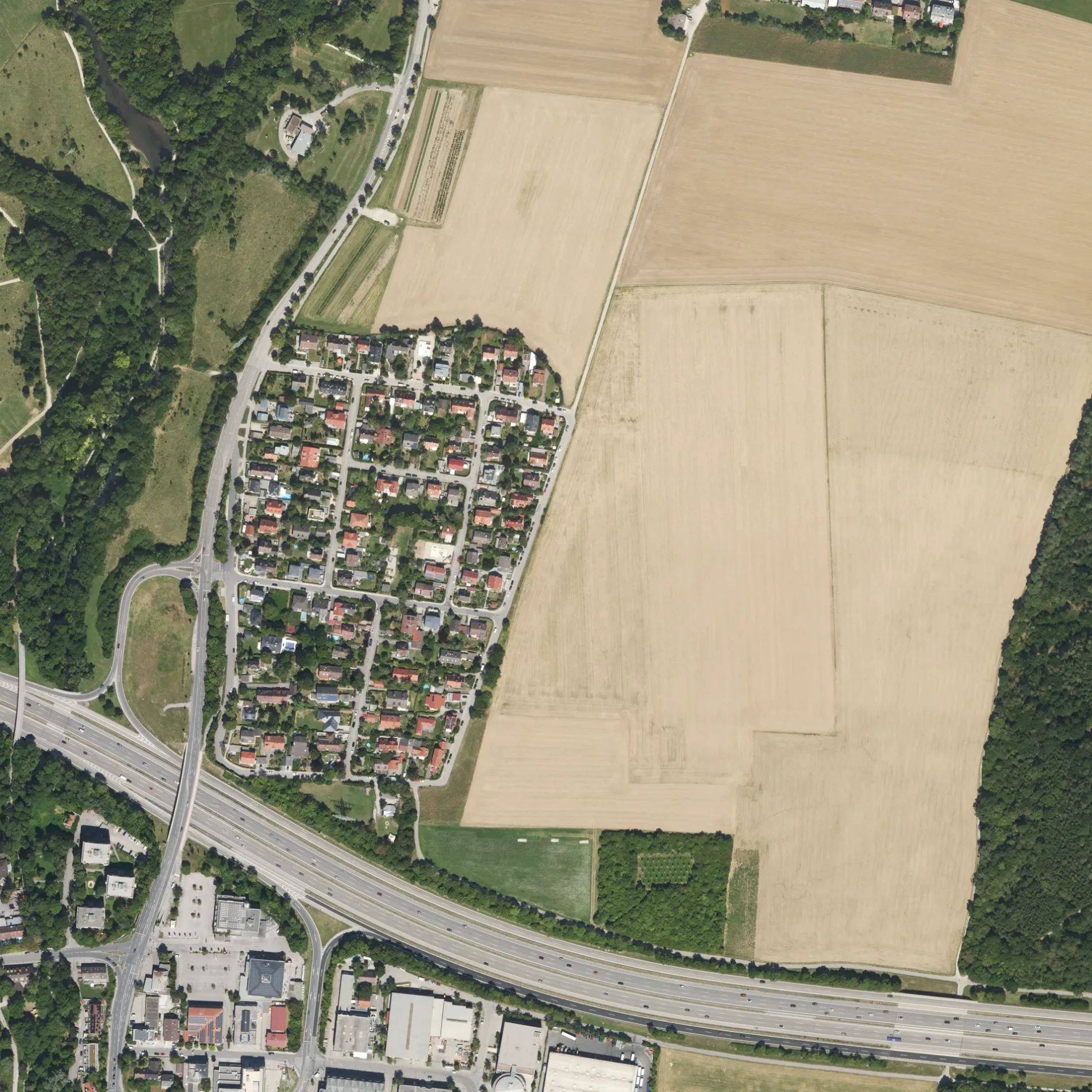
View of a digital orthophoto from the Bavarian Survey Administration. The image is a rectified, scaled aerial photo based on the Bavarian survey. The dimensions of this image are 1km × 1km. One pixel edge is 40cm long. The coordinate system used is UTM32, or EPSG:25832. This file is the original TIF file from the Bavarian Survey Administration and is called GEOTIFF. The graphics are updated in batches, but should be considered current. The DOP40 images from the Bavarian Survey Administration are copyrighted, OpenData, and usable under the terms of the CC-BY 4.0 license. This section shows a part of the district of München from above. – Bayerische Vermessungsverwaltung – www.geodaten.bayern.de, cc by – Wikimedia Commons Die Leharstraße in Gräfelfing ist eine asphaltierte, beleuchtete Wohnstraße (30 km/h). Die Straße verfügt über Gehwege. Hier verläuft die Buslinie 258. In der Umgebung befindet sich ein Automat. Die nächste Bushaltestelle in der Nähe ist Lochham, Starnberger Straße (ca. 100 m entfernt). Eine Leharstraße gibt es auch in Landkreis Eichstätt.

 Normale Karte
 ÖPNV-Stadtplan Gräfelfing Legende
  Fahrradstadtplan Gräfelfing Legende
  Fußgängerstadtplan Gräfelfing Legende