
Am Pfannenstiel in Lenting
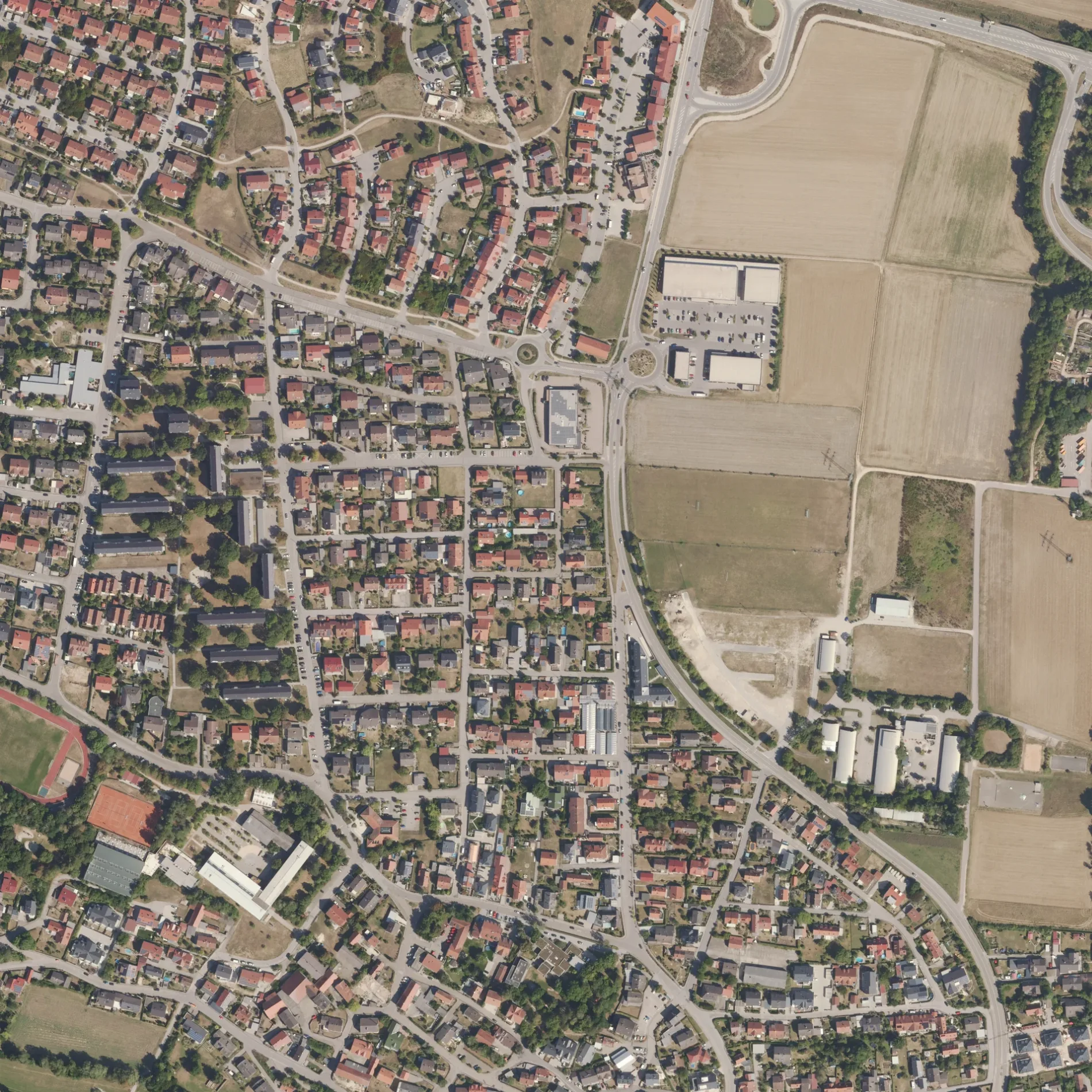
Am Pfannenstiel in Lenting ist eine asphaltierte, beleuchtete Wohnstraße (30 km/h). In der Umgebung befindet sich eine Ladestation. Die nächste Bushaltestelle in der Nähe ist Lenting, Jurastraße (ca. 150 m entfernt). Am Pfannenstiel gibt es auch in Landkreis Pfaffenhofen an der Ilm und Landkreis Freising.
- Straßentyp
- Wohnstraße
- Höchstgeschwindigkeit
- 30
Bild
Ladestationen
Straßen in der Umgebung
Nürnberger StraßeSparkasse, bea la moda, Irodion
150 m
Am Esper200 m
Bichel250 m
Bernd-Rosemeyer-StraßeDeutsche Post AG, Sipl Bäckerei
250 m
LehenbucklTierarztpraxis
250 m
Schönfeld250 m
Am Lesermantel300 m
Purchhauserstraße300 m
Lodronstraße300 m
Fürstäcker350 m
Alte LandstraßeLenting, Alte Landstraße
350 m
KapellenwegEsso Tankstelle
350 m
SchlickhstraßeAuto Dienst
400 m
Am SchanzlPauleser, Lentinger Döner
400 m
HauptstraßeSipl, Hepberg, Schulstraße, Metzgerei Bauer, DHL, Hepberg, Kapellenweg, Möbel Gschwilm, Fahrschule Langer
400 m
Klausnerweg450 m
Pechmannstraße450 m
Antoniusweg450 m
Am Sportplatz450 m
Antoniusstraße450 m
Stubenrauchstraße500 m
Am Hang500 m
Argula-von-Grumbach-Straße500 m
Auto-Union-RingLenting, Beethovenstraße, Dr. med. dent. Hans-Joachim Klug, Dr. med. dent. Martina Klug, Lenting, Jurastraße, The Beautiful People, Volksbank
500 m
Beethovenstraße550 m
Jurastraße550 m
Adalbert-Stifter-Straße550 m
Wittmannstraße550 m
FortstraßeGisela Brückl
550 m
EllenbrunnerstraßeLenting
550 m
An der Schanz600 m
Ernst-Rauwolf-StraßeLenting, Ernst-Rauwolf-Straße, Schul Verkehrsübungsplatz
600 m
Einsiedlerweg600 m
Schubertstraße600 m
Steinbuckel600 m
Buchtnerbarthl600 m
Bergstraße650 m
Hollerweg650 m
Böglstraße650 m
Schönblickstraße700 m
Pfarrer-Biberger-Straße700 m
Blumenläden in der Umgebung
Blumen Brauner450 m
Drogerien in der Umgebung
Müller200 m
Getränkemärkte in der Umgebung
Hörl200 m
Hotels in der Umgebung
Hotel Günter150 m
Restaurants in der Umgebung
Ciao100 m
Supermärkte in der Umgebung
Rewe150 m
NORMA250 m
Tankstellen in der Umgebung
Esso300 m
 ÖPNV-Stadtplan Lenting Legende
 | Bahn | |
| Bus | |
| Straßenbahn |
 Fahrradstadtplan Lenting Legende
 | Radweg | |
| Fahrradspur auf der Fahrbahn | |
| Radfahren auf der Busspur | |
| Fahrradstraße | |
| Für Radfahrer frei | |
| Für Radfahrer frei, guter Weg | |
| Radfahren verboten | |
| Kopfsteinpflaster |
| Fernradweg | (je nach Maßstab) | |
| Fernradweg |
 Fußgängerstadtplan Lenting Legende
 | Pfad |
| Fernwanderweg | (je nach Maßstab) | |
| Fernwanderweg | ||
| Fußgänger verboten |