
Eponaweg in Poing
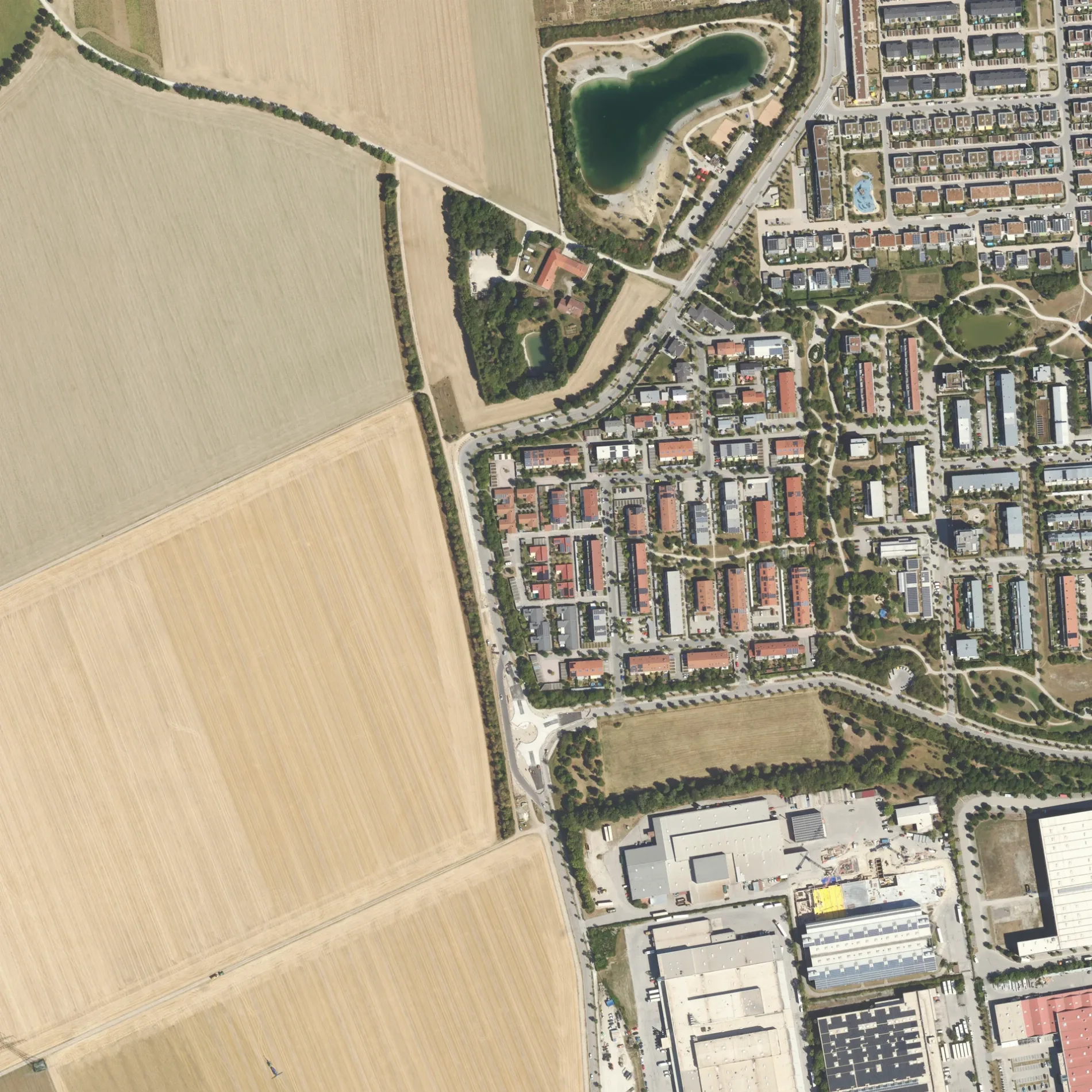
 Normale Karte
Touristeninformationen in Poing
- ℹ️ Hecke als Lebensraum ist eine Touristeninformation. Lehrpfad Grub – ca. 100 m 🗺.
- ℹ️ Ameisen und Laufkäfer ist eine Touristeninformation. Lehrpfad Grub – ca. 100 m 🗺.
- ℹ️ Neuntöter ist eine Touristeninformation. Lehrpfad Grub – ca. 200 m 🗺.
- ℹ️ Erdkröte ist eine Touristeninformation. Lehrpfad Grub – ca. 200 m 🗺.
- ℹ️ Spitzmaus ist eine Touristeninformation. Lehrpfad Grub – ca. 300 m 🗺.
- ℹ️ Igel ist eine Touristeninformation. Lehrpfad Grub – ca. 300 m 🗺.
- ℹ️ Säume der Vielfalt ist eine Touristeninformation. Lehrpfad Grub – ca. 300 m 🗺.
- ℹ️ Feldlerche ist eine Touristeninformation. Lehrpfad Grub – ca. 400 m 🗺.
- ℹ️ Was ist los in der Flur ist eine Touristeninformation. Lehrpfad Grub – ca. 500 m 🗺.
- ℹ️ Pflanzenbau am Standort Grub ist eine Touristeninformation. Lehrpfad Grub – ca. 500 m 🗺.
- ℹ️ Bodenleben ist eine Touristeninformation. Lehrpfad Grub – ca. 700 m 🗺.
- ℹ️ Wildtiere ist eine Touristeninformation. Lehrpfad Grub – ca. 700 m 🗺.
Sehenswürdigkeiten in Poing
Schnellrestaurants in Poing
- 🍔 Poinger See Bar ist ein Schnellrestaurant – ca. 300 m 🗺.
Kindergärten in Poing
- 🧒 Denk mit! Zwerge Poing ist ein Kindergarten (Träger: Denk mit! Kinderbetreuungseinrichtungen GmbH & Co. KG) in der Bergfeldstraße 19 (85586) – ca. 500 m 🗺.
Aussichtspunkte in Poing
- 🔭 Stonehenge ist ein Aussichtspunkt – ca. 800 m 🗺.
Gotteshäuser in Poing
- ⛪ Marienkapelle am Bergfeld ist eine Kirche (catholic) – ca. 700 m 🗺.
Supermärkte in Poing
- 🛒 Edeka Pfeilstetter ist ein Supermarkt (Öffnungszeiten: Mo–Sa 7–20 Uhr; Feiertag geschlossen, rollstuhlgerecht) in der Bergfeldstraße 11 (85586) – ca. 700 m 🗺.
Postfilialen in Poing
- 📬 Post ist eine Postfiliale (rollstuhlgerecht, Deutsche Post) in der Bergfeldstraße 11 (85586). ist im: EDEKA Pfeilstetter – ca. 700 m 🗺.
Bäckereien in Poing
- 🥐 Dein Bäcker ist eine Bäckerei (Öffnungszeiten: Mo–Sa 7–20 Uhr; Feiertag geschlossen, rollstuhlgerecht) – ca. 700 m 🗺.
Tankstellen in Poing
Carsharing-Stationen in Poing
Automaten in Poing
- 🎰 Steakomat ist ein Automat – ca. 800 m 🗺.

 ÖPNV-Stadtplan Poing Legende
 | Bahn | |
| Bus | |
| Straßenbahn |
 Fahrradstadtplan Poing Legende
 | Radweg | |
| Fahrradspur auf der Fahrbahn | |
| Radfahren auf der Busspur | |
| Fahrradstraße | |
| Für Radfahrer frei | |
| Für Radfahrer frei, guter Weg | |
| Radfahren verboten | |
| Kopfsteinpflaster |
| Fernradweg | (je nach Maßstab) | |
| Fernradweg |
 Fußgängerstadtplan Poing Legende
 | Pfad |
| Fernwanderweg | (je nach Maßstab) | |
| Fernwanderweg | ||
| Fußgänger verboten |