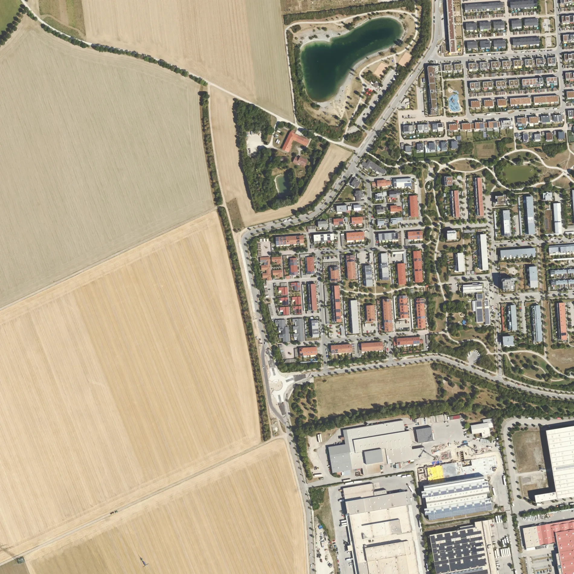
View of a digital orthophoto from the Bavarian Survey Administration. The image is a rectified, scaled aerial photo based on the Bavarian survey. The dimensions of this image are 1km × 1km. One pixel edge is 40cm long. The coordinate system used is UTM32, or EPSG:25832. This file is the original TIF file from the Bavarian Survey Administration and is called GEOTIFF. The graphics are updated in batches, but should be considered current. The DOP40 images from the Bavarian Survey Administration are copyrighted, OpenData, and usable under the terms of the CC-BY 4.0 license. This section shows a part of the district of Ebersberg from above. – Bayerische Vermessungsverwaltung – www.geodaten.bayern.de, cc by – Wikimedia Commons Die Bergfeldstraße in Poing ist eine asphaltierte, beleuchtete nicht klassifizierte Straße (30 km/h). Hier verlaufen die Buslinien 464 und 465. In der Umgebung befinden sich unter anderem eine Tierhandlung, ein Kosmetikstudio, ein Supermarkt und ein Schnellrestaurant. Die nächsten Haltestellen sind Seewinkel, Gebrüder-Grimm-Straße, Salamanderstraße und Bergfeldsee. Hier halten die Buslinien 464 und 465. Eine Bergfeldstraße gibt es auch in Landkreis Erding, Landkreis Landsberg am Lech, Landkreis Dachau, Landkreis Freising und Landkreis Rosenheim.

 Normale Karte
 ÖPNV-Stadtplan Poing Legende
  Fahrradstadtplan Poing Legende
  Fußgängerstadtplan Poing Legende