
Bucherbrücke in Schneizlreuth
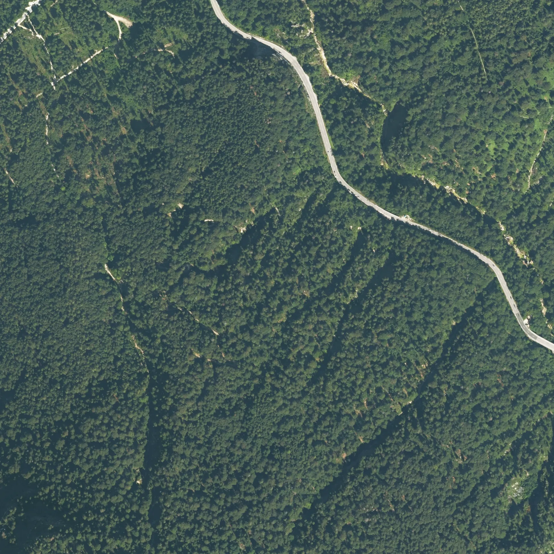
Die Bucherbrücke in Schneizlreuth ist eine zweispurige, asphaltierte Bundesstraße (100 km/h). Die Straße verfügt über keine Gehwege. Es ist kein Radweg vorhanden. Diese Straße liegt an der Fernstraße „Deutsche Alpenstraße".
- Straßentyp
- Bundesstraße
- Fahrspuren
- 2
- Höchstgeschwindigkeit
- 100
Bild
Bahnhöfe
Biergärten
Bushaltestellen
Straßen in der Umgebung
Alter Laufsteig650 m
Laufsteig (Steilabstieg)650 m
Laufsteig750 m
UnterjettenbergBad Reichenhall Unterjettenberg B21, Unterjettenberg
1,6 km
Deutsche Alpenstraße1,9 km
Mittersteig2,3 km
Wartsteinband2,8 km
Klettersteig WartsteinbandBergstation
2,9 km
RöthelbachstraßeBad Reichenhall Baumgarten, Outdoor Center Baumgarten, Baumgarten
3,1 km
Kiblinger WegPalfner
3,2 km
UlrichsholzUlrichsholz
3,2 km
WachterlsteigObere Schwaigelalm (ehem.)
3,3 km
Müllnerbergweg3,6 km
Bahnhöfe in der Umgebung
Seilbahn Talstation2,5 km
Bäche in der Umgebung
Schwarzbach550 m
Eisbach1,3 km
Lidlgraben2,5 km
Röthelbach3,3 km
Feuerwachen in der Umgebung
Freiwillige Feuerwehr Schneizlreuth1,5 km
Gebäude in der Umgebung
Brunnhaus1,1 km
Kabelverteiler Schöndorfer1,3 km
Anthauptenhütte1,8 km
Straßenmeisterei1,8 km
Station Saalachtal1,9 km
Fronau1,9 km
Station Lehmhofer2,5 km
Hundezwinger2,8 km
Baumgarten2,8 km
Wartsteinhütte3,0 km
Forstdiensthütte3,0 km
Futterhof3,1 km
Baumgartenhütte3,1 km
Lenzenkaser III3,3 km
Jagdhütte3,7 km
Gewerbegebiete in der Umgebung
Lager Wasserwirtschaftsamt3,3 km
Gotteshäuser in der Umgebung
Baumgartenkapelle2,8 km
Gräben in der Umgebung
Schindlbach3,0 km
Grünland in der Umgebung
Hirschwiese2,0 km
Hütten in der Umgebung
Untere Schwarzbachalm3,0 km
Obere Schwarzbachalm3,2 km
Industriegebäude in der Umgebung
Rheinmetall GmbH Niederlassung Buck Fronau1,9 km
Kindergärten in der Umgebung
Kindergarten Gemeindezwergerl1,5 km
Militärgebiete in der Umgebung
WTD 522,4 km
Wehrtechnische Dienststelle für Schutz- und Sondertechnik (WTD 52)2,6 km
Restaurants in der Umgebung
Anthauptenalm1,8 km
Gasthaus Baumgarten3,3 km
Steinbrüche in der Umgebung
Dolomitwerk1,2 km
Wehre in der Umgebung
Röthelbachklause3,1 km
Wiesen in der Umgebung
Moosenalm2,6 km
 ÖPNV-Stadtplan Schneizlreuth Legende
 | Bahn | |
| Bus | |
| Straßenbahn |
 Fahrradstadtplan Schneizlreuth Legende
 | Radweg | |
| Fahrradspur auf der Fahrbahn | |
| Radfahren auf der Busspur | |
| Fahrradstraße | |
| Für Radfahrer frei | |
| Für Radfahrer frei, guter Weg | |
| Radfahren verboten | |
| Kopfsteinpflaster |
| Fernradweg | (je nach Maßstab) | |
| Fernradweg |
 Fußgängerstadtplan Schneizlreuth Legende
 | Pfad |
| Fernwanderweg | (je nach Maßstab) | |
| Fernwanderweg | ||
| Fußgänger verboten |