
Hermann-Selzer-Straße in Altötting
Die Hermann-Selzer-Straße in Altötting ist eine asphaltierte Wohnstraße. Es gilt eine Einbahnstraße (Radverkehr in Gegenrichtung erlaubt). Die nächste Bushaltestelle in der Nähe ist Altötting, Simon-Dach-Pl./Ostpreußenstr. (ca. 100 m entfernt).
- Straßentyp
- Wohnstraße
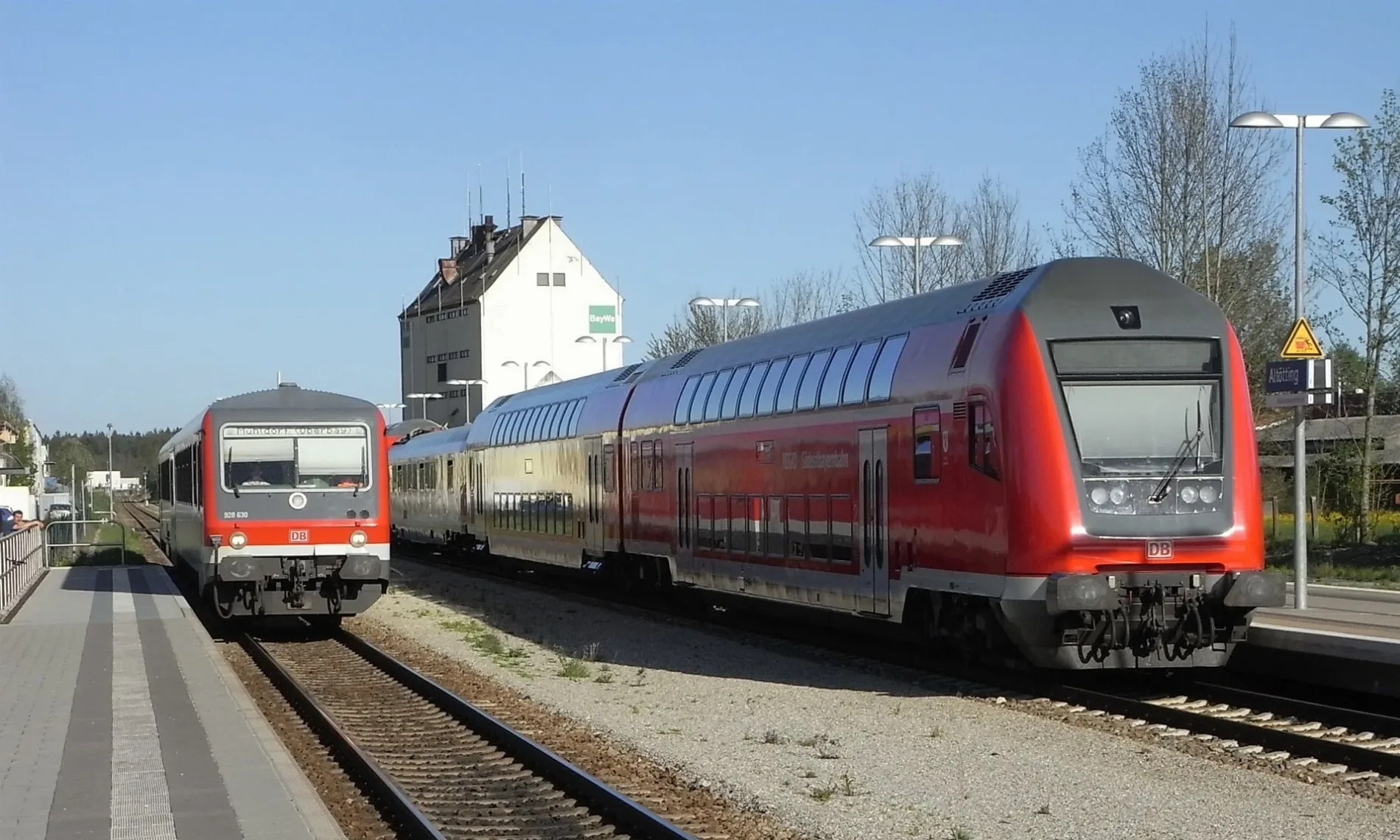
Bild
Bäckereien
Bahnsteige
Autowerkstätten
Bushaltestellen
Straßen in der Umgebung
Peter-Rosegger-Straße100 m
Dr.-Thyroff-StraßeAltötting, Dr.-Thyroff-Str./AW
100 m
Gottfried-Keller-Straße100 m
Josef-Geiselberger-Straße150 m
Simon-Dach-PlatzAltötting, Simon-Dach-Pl./Ostpreußenstr.
150 m
Südtirolstraße150 m
Eichendorffstraße200 m
Pfarrer-Geyer-Platz200 m
Ostpreußenstraße200 m
Adalbert-Stifter-Straße200 m
Banatstraße200 m
Ganghoferweg250 m
Trostberger StraßeFord Suttrop, Eiscafe Pineta, Edeka, Dr. Kneidl, Graminger Weissbräu, Altötting Trostberger-/Georgenstr., Altötting, Freibad, Namaste India, Trostberger Hof, Altötting Trostberger Hof
250 m
GeorgenstraßeAltötting Trostberger-/Georgenstr., Edhofer
250 m
Siebenbürgenstraße250 m
Batschkastraße250 m
Sudetenstraße300 m
Hüttenberger Weg300 m
HillmannstraßeSchreyer, Wiesenbart, Bachmeier
300 m
Altötting, Bahnhof (1)Altötting, Bahnhof (1)
300 m
Bahnhofplatzmoba, Orthopädische Gemeinschaftspraxis Altötting
300 m
Altötting, Bahnhof (2)Altötting, Bahnhof (2)
300 m
Altötting, Bahnhof (3)Altötting, Bahnhof (3)
300 m
Traunsteiner StraßeBruckmayer, Il Colosseo
300 m
Altötting, Bahnhof (4)Altötting, Bf, Altötting, Bahnhof (4)
300 m
Gleis 1Altötting, Bahnplatzl
300 m
Altötting, Bahnhof (5)Altötting, Bahnhof (5)
300 m
Altötting, Bahnhof (6)Altötting, Bahnhof (6)
350 m
Nikolaus-Lenau-StraßeAltötting, Nikolaus-Lenau-Straße
350 m
Rotkreuzstraße350 m
Schillerstraße350 m
Danziger Straße400 m
Martin-Greif-Straße400 m
Ludwig-Thoma-Straße400 m
Waldschmidstraße450 m
Äußere Schlotthamer Straße450 m
Rudolf-Diesel-Straße450 m
OttostraßeBaywa
450 m
Haydnstraße450 m
Goethestraße450 m
Josef-Leitl-Straße500 m
Carl-Orff-Straße650 m
Bahnsteige in der Umgebung
Altötting300 m
Gotteshäuser in der Umgebung
Sankt Josef200 m
Zum Guten Hirten250 m
Kindergärten in der Umgebung
Kath. Kindergarten St. Josef200 m
Schulen in der Umgebung
Josef-Guggenmos-Schule - Grundschule Süd200 m
Sozialeinrichtungen in der Umgebung
Pflegeheim Curanum400 m
Supermärkte in der Umgebung
Rewe250 m
 ÖPNV-Stadtplan Altötting Legende
 | Bahn | |
| Bus | |
| Straßenbahn |
 Fahrradstadtplan Altötting Legende
 | Radweg | |
| Fahrradspur auf der Fahrbahn | |
| Radfahren auf der Busspur | |
| Fahrradstraße | |
| Für Radfahrer frei | |
| Für Radfahrer frei, guter Weg | |
| Radfahren verboten | |
| Kopfsteinpflaster |
| Fernradweg | (je nach Maßstab) | |
| Fernradweg |
 Fußgängerstadtplan Altötting Legende
 | Pfad |
| Fernwanderweg | (je nach Maßstab) | |
| Fernwanderweg | ||
| Fußgänger verboten |