
Bäckerreihe in Untergriesbach
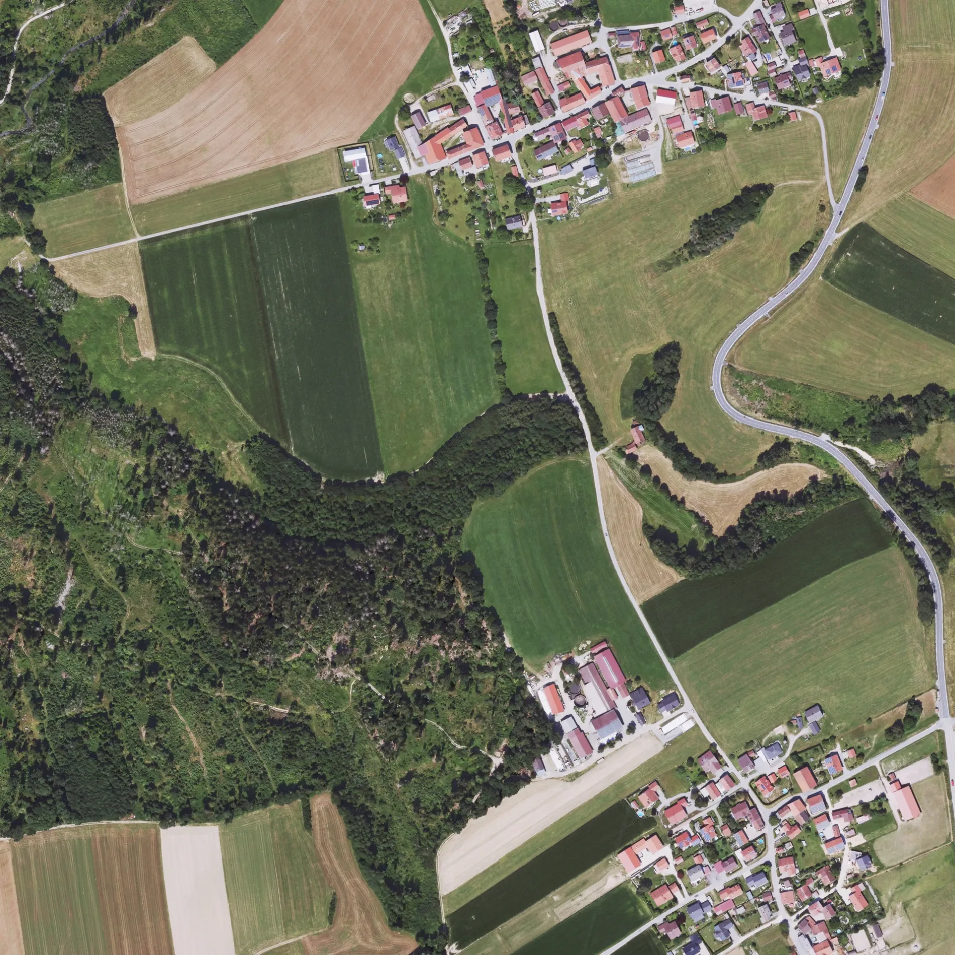
Bäckerreihe in Untergriesbach ist eine asphaltierte Wohnstraße. Die nächste Bushaltestelle in der Nähe ist Alt-Ziering (ca. 700 m entfernt).
- Straßentyp
- Wohnstraße
Bild
Bushaltestellen
Straßen in der Umgebung
Schreinergartl300 m
HauptstraßeLeizesberg
300 m
Gsteinert350 m
Kühweg350 m
Wastlmühlweg400 m
Haarlandweg400 m
Mühlweg650 m
Am Aufeld700 m
BüchlwegAlt-Ziering
700 m
MarterlwegZiering
750 m
Bachwanderweg950 m
Kapellenweg1000 m
KnappenhäuslKnappenhäusl
1,0 km
Kinderheim1,1 km
Hölzlweg1,1 km
SagederwegNeu-Ziering
1,1 km
Graphitweg1,2 km
Kropfmühl1,2 km
Jahrdorferschacht1,2 km
Zur Au1,3 km
Hedwigschacht1,3 km
Hauzenberger StraßeUntergriesbach, Fa. Heigl, Heppel
1,3 km
Florianweg1,3 km
Barbarastraße1,3 km
Am BreitackerSchaibing
1,4 km
Am Hofacker1,4 km
Ziegeleiweg1,4 km
Moosweg1,4 km
Knappenstraße1,4 km
LangheinrichstraßeBesucherbergwerk, Kammermeier, Germannsdorf, Abzweig, Ödhof
1,4 km
DorfstraßeZur Toni, Schaibing, Abzweigung
1,4 km
Erläcker1,4 km
Schaibinger StraßeAutohaus Rabenbauer, Schaibing, Abzweigung
1,4 km
Kirchstraße1,4 km
Waldblick1,5 km
Bergacker1,5 km
St.-Josef-Straße1,5 km
Scharäcker1,5 km
Buchetweg1,6 km
Birkfeld1,6 km
Fliederstraße1,6 km
WastlmühlstraßeModellbau Fischer
1,6 km
Eichenweg1,6 km
Heckenweg1,7 km
Bäche in der Umgebung
Mühleckergraben300 m
Aubach950 m
Feuerwachen in der Umgebung
Freiwillige Feuerwehr Schaibung1,3 km
Gotteshäuser in der Umgebung
Maria Hilf250 m
St. Josef1,4 km
 ÖPNV-Stadtplan Untergriesbach Legende
 | Bahn | |
| Bus | |
| Straßenbahn |
 Fahrradstadtplan Untergriesbach Legende
 | Radweg | |
| Fahrradspur auf der Fahrbahn | |
| Radfahren auf der Busspur | |
| Fahrradstraße | |
| Für Radfahrer frei | |
| Für Radfahrer frei, guter Weg | |
| Radfahren verboten | |
| Kopfsteinpflaster |
| Fernradweg | (je nach Maßstab) | |
| Fernradweg |
 Fußgängerstadtplan Untergriesbach Legende
 | Pfad |
| Fernwanderweg | (je nach Maßstab) | |
| Fernwanderweg | ||
| Fußgänger verboten |