
"Hehlberg Nord" in Schwäbisch Hall-Sulzdorf
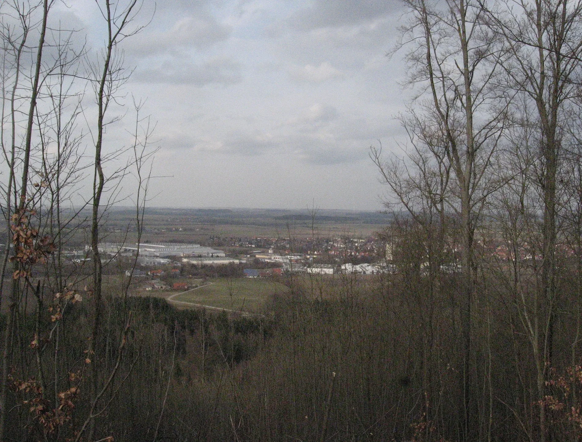
"Hehlberg Nord" in Schwäbisch Hall ist ein unbefestigter Pfad. "Hehlberg Nord" verläuft in Nordost-Südwest-Richtung.
- Straßentyp
- Pfad
- Verlauf
- Nordost-Südwest
Bild
Tankstellen
Banken
Bushaltestellen
Straßen in der Umgebung
"Hehlberg Mitte"500 m
SulzdorfHehlberg nb650 m
Hehlbergweg nb650 m
FuchslochSchwarzenlache nb750 m
BaumgartenSchwarzenlache
800 m
Brunnenhaldensträßle850 m
Bühlertalstraße850 m
Schwarzenlache900 m
"Fischerholz"900 m
HauptstraßeAbzw. Schwarzenlache, Hauptstraße, Abzw. Roßhöhe, Sulzdorf Hauptstraße, Sulzdorf
900 m
BlätteräckerKegelcenter, Pulse Club
1,0 km
Mahläckerstraße1,0 km
"Rauher Berg Süd"1,1 km
Wasen1,1 km
"Birkentöbele"Birkentöbele
1,1 km
RoßhöheAbzw. Roßhöhe
1,1 km
LadestraßeSulzdorf
1,2 km
JahnstraßeSulzdorf Dammstraße
1,3 km
BrückäckerstraßeBrückäckerstraße
1,3 km
"Alte Fischach Mitte"1,3 km
"Baumgarten Nord"Alte Fischach
1,3 km
Eichendorffstraße1,3 km
Alte Hauptstraße1,4 km
Ulmenstraße1,4 km
Im Hasenbühl1,4 km
BachstraßeBahnhofsgaststätte
1,4 km
Rohrwiesenstraße1,4 km
HerdwegGasthaus Waldhorn, Mahläcker, Aral
1,4 km
Tannenweg1,5 km
Spechtsbachsträßle nb1,5 km
Föhrenstraße1,5 km
Mühlwiesen1,5 km
"Baumgarten Süd"1,5 km
Bäche in der Umgebung
Helbergbach400 m
Erlenbach750 m
Helhbergbach800 m
Neubergbach1,0 km
Fischach1,1 km
Steinbach1,5 km
Rohrwiesenbach1,5 km
Flächen in der Umgebung
THW Ortsverband Schwäbisch Hall1000 m
Gebäude in der Umgebung
Tennishalle1,1 km
Ehem. Güterschuppen1,3 km
Gemeinschaftszentren in der Umgebung
Vereinsheim TC Sulzdorf1,1 km
Häuser in der Umgebung
Lorenz Fuchs1,1 km
Industriegebiete in der Umgebung
Brückäcker1,1 km
Sportzentren in der Umgebung
Tennisclub Sulzdorf e.V.1,1 km
Turn- und Sportverein Sulzdorf e. V. 19211,1 km
Schützenverein Sulzdorf-Hessental e.V.1,3 km
 ÖPNV-Stadtplan Sulzdorf Legende
 | Bahn | |
| Bus | |
| Straßenbahn |
 Fahrradstadtplan Sulzdorf Legende
 | Radweg | |
| Fahrradspur auf der Fahrbahn | |
| Radfahren auf der Busspur | |
| Fahrradstraße | |
| Für Radfahrer frei | |
| Für Radfahrer frei, guter Weg | |
| Radfahren verboten | |
| Kopfsteinpflaster |
| Fernradweg | (je nach Maßstab) | |
| Fernradweg |
 Fußgängerstadtplan Sulzdorf Legende
 | Pfad |
| Fernwanderweg | (je nach Maßstab) | |
| Fernwanderweg | ||
| Fußgänger verboten |