
Schulstraße in Rudersberg Oberndorf
Die Schulstraße in Oberndorf in Rudersberg ist eine asphaltierte Wohnstraße (30 km/h) und sie verläuft in Nordost-Südwest-Richtung. Eine Schulstraße gibt es auch in Rudersberg.
- Straßentyp
- Wohnstraße
- Höchstgeschwindigkeit
- 30
- Verlauf
- Nordost-Südwest
Bild
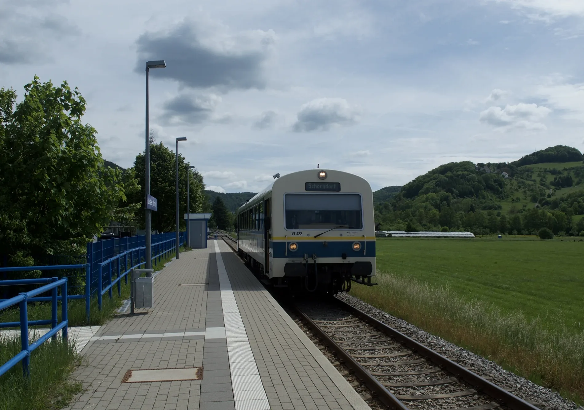
Tankstellen
Bahnsteige
Bushaltestellen
Hofläden
Straßen in der Umgebung
Bergstraße100 m
Gassenäckerweg150 m
Lerchenstraße300 m
Schulstraße300 m
Amselweg350 m
Max-Eyth-Weg350 m
Boschstraße400 m
Daimlerstraße400 m
Beim Bahnhof400 m
Welzheimer Straße450 m
Herderstraße450 m
Rudersberger Straße450 m
Steingasse500 m
Brunnenplatz500 m
Hüttlensberg500 m
Siemensstraße550 m
Kelterstraße550 m
Bei der Mühle550 m
Mühlbachweg600 m
Rilkeweg600 m
Badwiesenstraße600 m
Hölderlinstraße650 m
MTB650 m
Lessingstraße700 m
Lönsweg700 m
In der Au750 m
Hirschgasse750 m
Eichbergweg800 m
In der Vorstadt850 m
Schwabweg850 m
Uhlandweg850 m
Panoramaweg850 m
Hegelstraße850 m
Eppensteiner Weg850 m
Schellingstraße900 m
Friedrich-Ebert-Straße900 m
Kantstraße900 m
Juxweg950 m
Bahnsteige in der Umgebung
Rudersberg Nord450 m
Eisenbahnstrecken in der Umgebung
Wieslauftalbahn350 m
Gemeinschaftszentren in der Umgebung
Evang. Gemeindehaus Oberndorf100 m
Geschäftsgebäude in der Umgebung
Bauhof Gemeinde Rudersberg300 m
Wohnbau Rems-Murr GmbH Bauträger KG350 m
Gotteshäuser in der Umgebung
Neuapostolische Kirche400 m
Aussegnungshalle500 m
Hofläden in der Umgebung
Betrieb Schwenger150 m
Industriegebäude in der Umgebung
WERU550 m
Schulen in der Umgebung
Schulzentrum Rudersberg400 m
Sportzentren in der Umgebung
Wieslaufhalle300 m
Schulturnhalle300 m
ÖPNV-Stadtplan Oberndorf Legende
| Bahn | |
| Bus | |
| Straßenbahn |
Fahrradstadtplan Oberndorf Legende
| Radweg | |
| Fahrradspur auf der Fahrbahn | |
| Radfahren auf der Busspur | |
| Fahrradstraße | |
| Für Radfahrer frei | |
| Für Radfahrer frei, guter Weg | |
| Radfahren verboten | |
| Kopfsteinpflaster |
| Fernradweg | (je nach Maßstab) | |
| Fernradweg |
Fußgängerstadtplan Oberndorf Legende
| Pfad |
| Fernwanderweg | (je nach Maßstab) | |
| Fernwanderweg | ||
| Fußgänger verboten |