
Pfarrstraße in Riesbürg Utzmemmingen
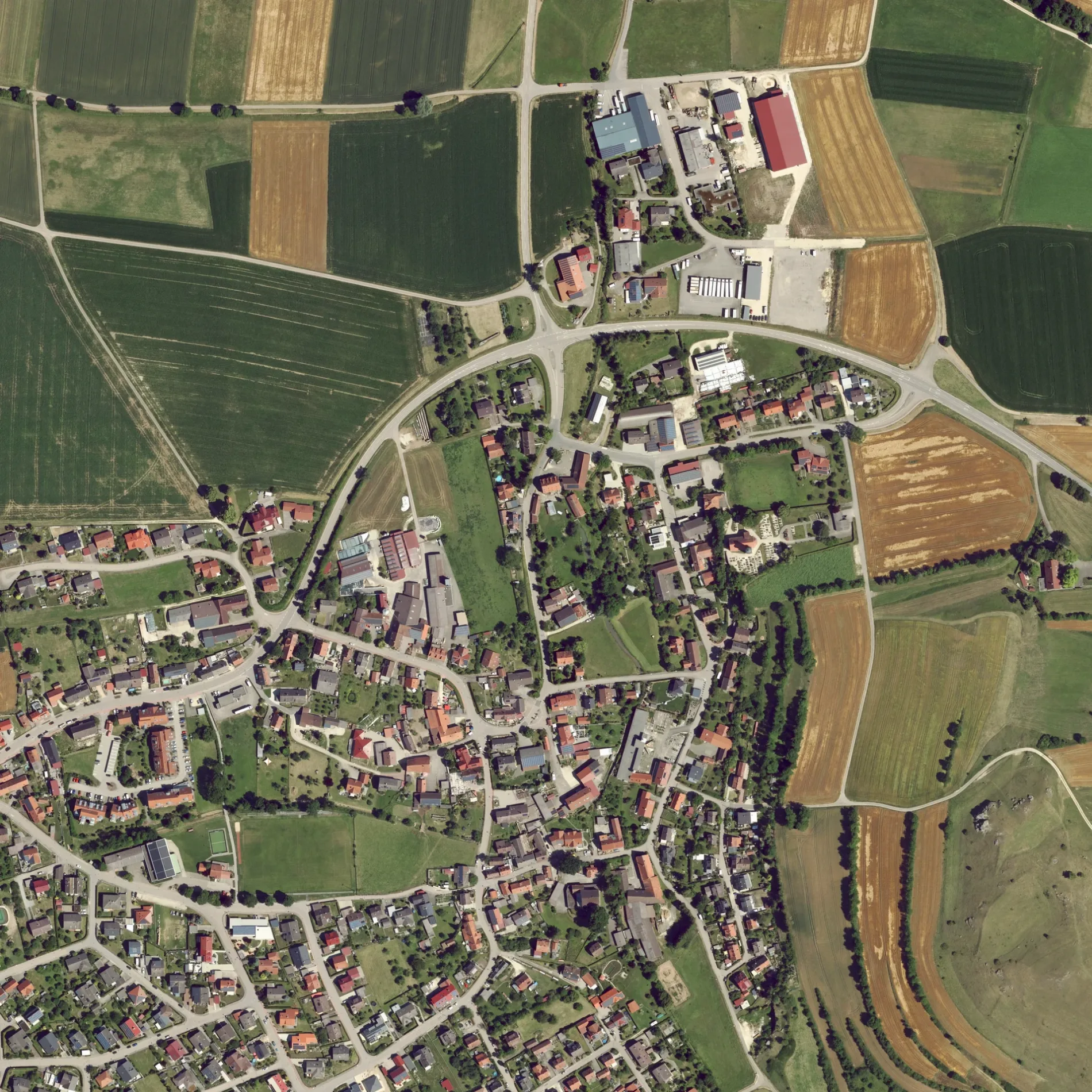
Die Pfarrstraße in Riesbürg ist eine Wohnstraße. Diese Straße liegt an der Wanderweg „Ries-Panoramaweg". Die nächste Bushaltestelle in der Nähe ist Hirsch (ca. 100 m entfernt).
- Straßentyp
- Wohnstraße
Bild
Fleischereien
Friseursalons
Parkplätze
Bushaltestellen
Kindergärten
Banken
Sehenswürdigkeiten
Restaurants
Touristeninformationen
Feuerwachen
Straßen in der Umgebung
Kirchenweg100 m
Platz von EsvresHirsch, Gasthaus Ochsen
100 m
Weilerstraße200 m
Lange StraßeUtzmemmingen
200 m
BrunnenstraßeAdler
250 m
Kapellenweg300 m
Walkstraße300 m
Jahngasse300 m
RömerstraßeMetzgerei Taglieber
300 m
Nördlinger StraßeRiesblick
350 m
Finkenweg350 m
Uhlandstraße350 m
Ofnetstraße400 m
Silcherstraße400 m
Waldstraße450 m
Siemensstraße450 m
Lindenstraße500 m
Hegelstraße500 m
Buchenweg500 m
Rosenstraße500 m
Röhrbachpark500 m
GoethestraßeFreiwillige Feuerwehr Riesbürg - Abteilung Utzmemmingen, Katholischer Kindergarten St. Josef
550 m
Mozartstraße550 m
An der Eger550 m
Tannenweg600 m
Mörikestraße600 m
Bachweg600 m
Lessingstraße700 m
Aalener StraßeUtzmemmingen Post, Delias, Metzgerei Winter, Raiffeisen-Volksbank, Ringlesmühle
700 m
Eichendorffweg750 m
Schubartstraße750 m
Mühlstraße800 m
Kantstraße850 m
WalkmühlwegWalkmühle
900 m
Beethovenstraße900 m
Walkbühlweg950 m
SchlagäckerWanderparkplatz
1000 m
Bäche in der Umgebung
Maienbach50 m
Röhrbach250 m
Flüsse in der Umgebung
Eger800 m
Gebäude in der Umgebung
Gasthof Riesblick450 m
Römerhalle500 m
Gotteshäuser in der Umgebung
St. Martin200 m
Gräben in der Umgebung
Arlachgraben650 m
Naturschutzgebiete in der Umgebung
Riegelberg500 m
Sportplätze in der Umgebung
Fußballplatz400 m
TC Riesbürg1000 m
Wohngebiete in der Umgebung
Walkmühle850 m
Walkbühl900 m
 ÖPNV-Stadtplan Utzmemmingen Legende
 | Bahn | |
| Bus | |
| Straßenbahn |
 Fahrradstadtplan Utzmemmingen Legende
 | Radweg | |
| Fahrradspur auf der Fahrbahn | |
| Radfahren auf der Busspur | |
| Fahrradstraße | |
| Für Radfahrer frei | |
| Für Radfahrer frei, guter Weg | |
| Radfahren verboten | |
| Kopfsteinpflaster |
| Fernradweg | (je nach Maßstab) | |
| Fernradweg |
 Fußgängerstadtplan Utzmemmingen Legende
 | Pfad |
| Fernwanderweg | (je nach Maßstab) | |
| Fernwanderweg | ||
| Fußgänger verboten |