
Beerlachstraße in Stödtlen
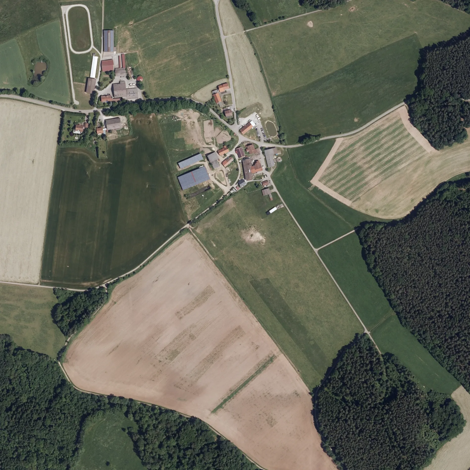
Die Beerlachstraße in Stödtlen ist eine nicht klassifizierte Straße. Sie verläuft in Nord-Süd-Richtung und endet an der Burgstallstraße, während das andere Ende eine Sackgasse ist.
- Straßentyp
- nicht klassifizierte Straße
- Verlauf
- Nord-Süd
Bild
Tankstellen
Cafés
Bushaltestellen
Straßen in der Umgebung
BurgstallstraßeUnterbronnen
50 m
Bergweg100 m
Braunbachweg150 m
HofäckerstraßeOberbronnen
600 m
Wirtsgasse650 m
SteigäckerstraßeEck am Berg Steigäckerstraße
1,5 km
Im Salgereut1,5 km
IndustriestraßeElektrotankstelle
1,5 km
Gartenstraße1,7 km
Birkenweg1,7 km
Hauptstraße1,7 km
Schönbornstraße1,7 km
Elchweg1,7 km
Forststraße1,8 km
Bachstraße1,8 km
Friedhofstraße1,8 km
In den Eichwiesen1,8 km
Mörikestraße1,9 km
Schillerstraße1,9 km
EichwegTannhausen
1,9 km
Uhlandstraße1,9 km
Neuweilerstraße1,9 km
Hirtenweg1,9 km
Bugstraße1,9 km
Schulstraße1,9 km
Dominikus-Mettenleiter-Straße1,9 km
Am Rankenäcker1,9 km
Burgstallweg2,0 km
Waldweg2,0 km
Brandweg2,0 km
Rosenbergweg2,1 km
Hohlweg2,1 km
DorfstraßeWittenbach, Wittenbach Ort
2,1 km
Kirchenweg2,1 km
Banken in der Umgebung
VR Bank1,8 km
Bauernhöfe in der Umgebung
Burgstallhof950 m
Feuerwachen in der Umgebung
Freiwillige Feuerwehr Tannhausen1,7 km
Gewässer in der Umgebung
Altweiher950 m
Neuweiher1,0 km
Sandweiher1,7 km
Gänsweiher1,9 km
Gotteshäuser in der Umgebung
St. Wolfgangskapelle600 m
Industriegebäude in der Umgebung
Limeshalle des Geflügelzuchtvereines Wittenbach1,8 km
Kindergärten in der Umgebung
Kath. Kindergarten St. Maria1,9 km
Metzgereien in der Umgebung
Landmetzgerei Ganzenmüller1,8 km
Polizeidienststellen in der Umgebung
Polizeiposten Tannhausen1,8 km
Rathäuser in der Umgebung
Gemeindeverwaltung Tannhausen1,8 km
Restaurants in der Umgebung
Schützenverein Edelweiß Wittenbach1,8 km
Supermärkte in der Umgebung
Bäckerei Beck1,8 km
 ÖPNV-Stadtplan Stödtlen Legende
| Bahn | |
| Bus | |
| Straßenbahn |
 Fahrradstadtplan Stödtlen Legende
| Radweg | |
| Fahrradspur auf der Fahrbahn | |
| Radfahren auf der Busspur | |
| Fahrradstraße | |
| Für Radfahrer frei | |
| Für Radfahrer frei, guter Weg | |
| Radfahren verboten | |
| Kopfsteinpflaster |
| Fernradweg | (je nach Maßstab) | |
| Fernradweg |
 Fußgängerstadtplan Stödtlen Legende
| Pfad |
| Fernwanderweg | (je nach Maßstab) | |
| Fernwanderweg | ||
| Fußgänger verboten |