
Graf-Stauffenberg Straße in Dischingen-Eglingen
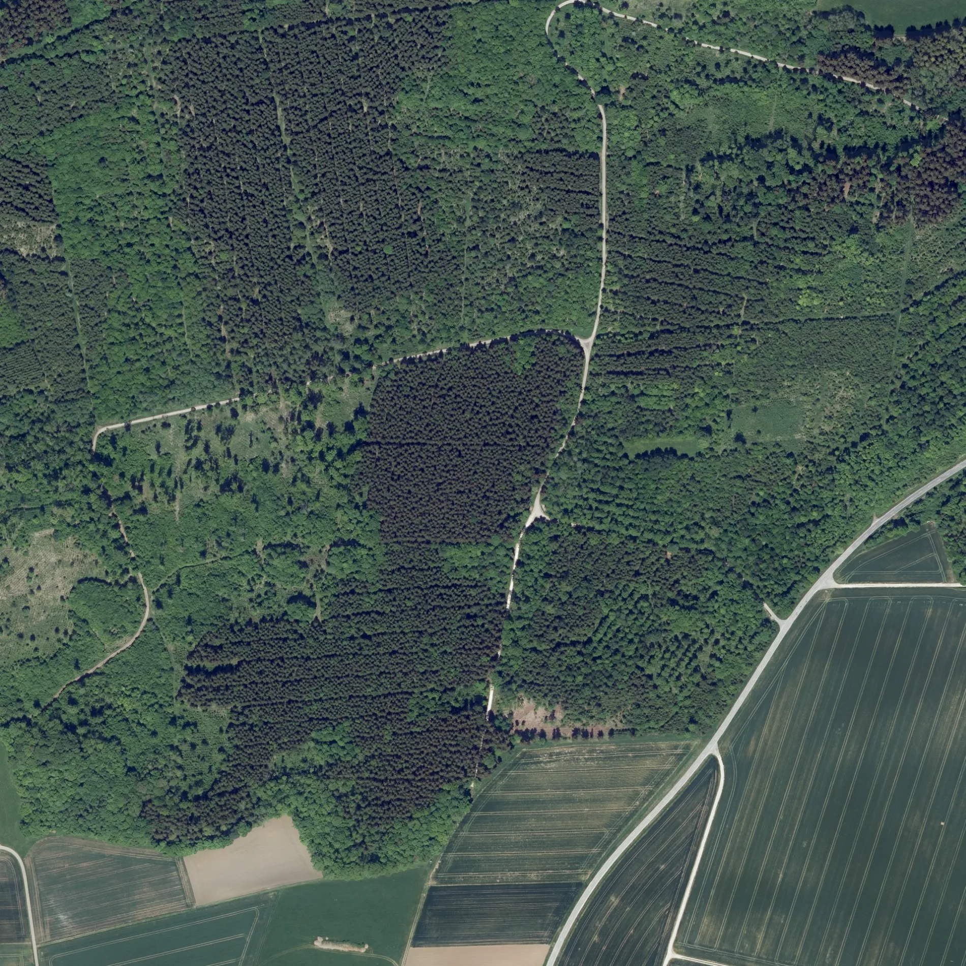
Die Graf-Stauffenberg Straße in Dischingen ist ein geschotterter Feldweg (Schotterweg). Sie verläuft in Südost-Nordwest-Richtung und endet in einer Sackgasse.
- Straßentyp
- Feldweg
- Verlauf
- Südost-Nordwest
Bild
Bushaltestellen
Straßen in der Umgebung
Baumgries700 m
Ziegelweg800 m
SeelbronnSeelbronn
1,0 km
Aufhauser Straße1,5 km
Am Krautgarten1,6 km
Amerdinger Straße1,6 km
Baumgrieser StraßeDorfplatz, Osterhofen, Dorfplatz
1,7 km
Katzengraben1,7 km
An der Steingrube1,7 km
Schmiedgasse1,7 km
Kruggenweg1,7 km
BaumgasseDemminger-/Kirchstr.
1,8 km
In der Schrai1,8 km
Alter Posthof1,8 km
Demminger StraßeEglingen, Demminger-/Kirchstr., Demminger-/Kirchstr.
1,8 km
FreibergstraßeDorfbrunnen, Eglingen, Dorfbrunnen
1,9 km
Grafeneggstraße1,9 km
Kirchenweg1,9 km
KirchenstraßeEglingen
1,9 km
Graf-Mangold-Straße1,9 km
Raiffeisenstraße1,9 km
Kirchengäßle1,9 km
Seitenstraße1,9 km
Forstgäßle1,9 km
Engelgasse1,9 km
Schloß2,0 km
Osterhofer Straße2,0 km
WeiherstraßeOsterhofen
2,0 km
Starenweg2,0 km
Ochsenweg2,0 km
Alte Molke2,0 km
Lerchenstraße2,0 km
Aspenweg2,0 km
Drosselweg2,1 km
Rennenhaustraße2,1 km
HauptstraßeAufhausen
2,1 km
Grasiger Weg2,2 km
Bachstraße2,2 km
Im Brühl2,2 km
Bauernhöfe in der Umgebung
Gut Baumgries850 m
Bäche in der Umgebung
Kessel1,4 km
Sonderbach2,0 km
Gebäude in der Umgebung
Turn- und Festhalle2,2 km
Gotteshäuser in der Umgebung
Pfarrkirche St. Martinus1,9 km
Industriegebiete in der Umgebung
Grinbold-Jodag1,8 km
Kapellen in der Umgebung
Kapelle St. Wendelinus1,9 km
St. Petrus und Paulus2,1 km
Rathäuser in der Umgebung
Ortschaftsverwaltung Eglingen1,8 km
Unbebaute Flächen in der Umgebung
Baugebiet "Brühl"2,0 km
 ÖPNV-Stadtplan Eglingen Legende
| Bahn | |
| Bus | |
| Straßenbahn |
 Fahrradstadtplan Eglingen Legende
| Radweg | |
| Fahrradspur auf der Fahrbahn | |
| Radfahren auf der Busspur | |
| Fahrradstraße | |
| Für Radfahrer frei | |
| Für Radfahrer frei, guter Weg | |
| Radfahren verboten | |
| Kopfsteinpflaster |
| Fernradweg | (je nach Maßstab) | |
| Fernradweg |
 Fußgängerstadtplan Eglingen Legende
| Pfad |
| Fernwanderweg | (je nach Maßstab) | |
| Fernwanderweg | ||
| Fußgänger verboten |