
Am Streitberg in Kreßberg Leukershausen
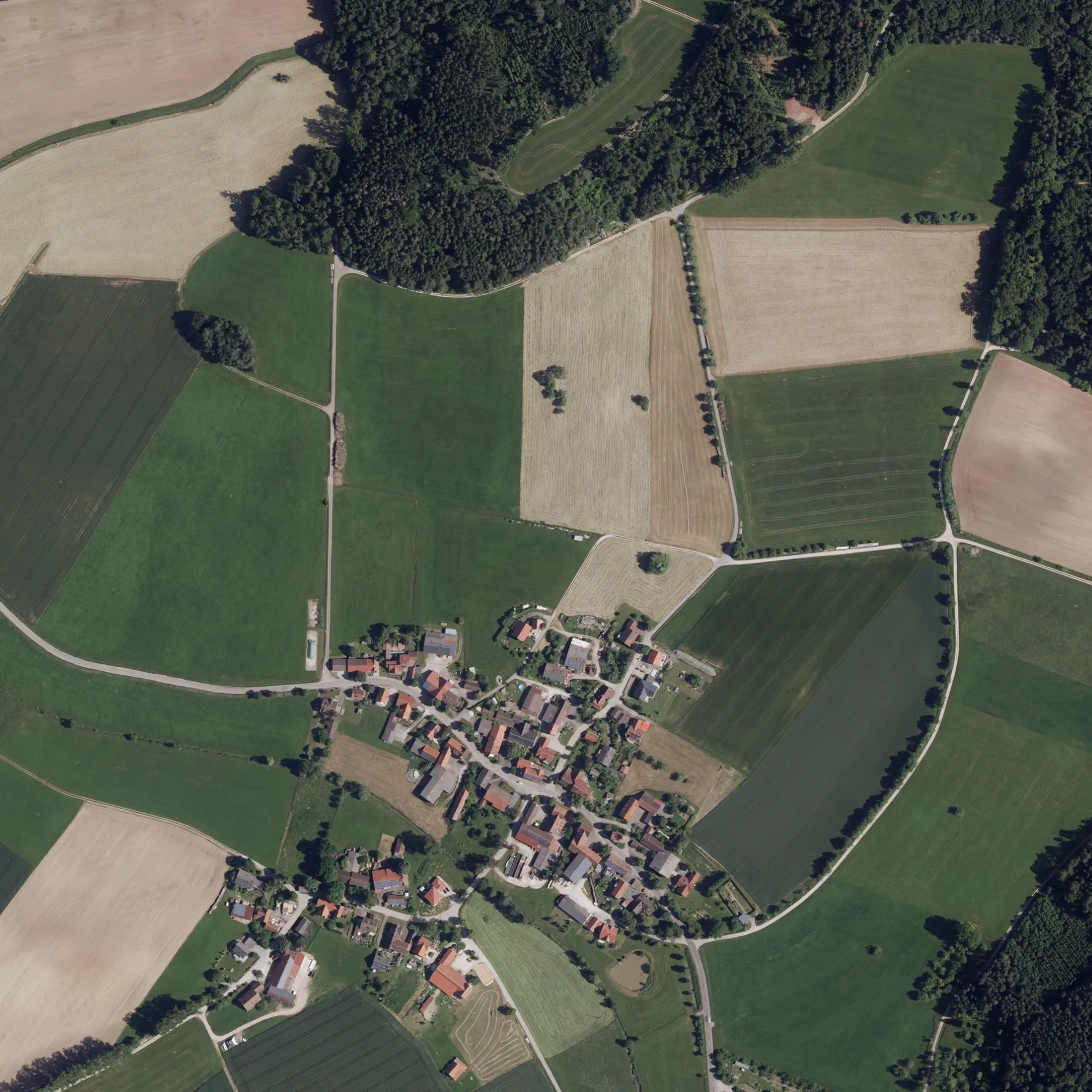
Am Streitberg in Leukershausen in Kreßberg ist eine Wohnstraße (50 km/h). Er verläuft in Nordost-Südwest-Richtung und endet an der Dorfstraße, während das andere Ende eine Sackgasse ist. Die nächste Bushaltestelle in der Nähe ist Bergertshofen (ca. 100 m entfernt).
- Straßentyp
- Wohnstraße
- Höchstgeschwindigkeit
- 50
- Verlauf
- Nordost-Südwest
Bild
Bushaltestellen
Straßen in der Umgebung
DorfstraßeBergertshofen
100 m
Bruckgasse350 m
SchönbachstraßeOberstelzhausen Abzweigung, Oberstelzhausen
1,2 km
Preussenfeld1,2 km
Am Grund1,3 km
Wanderparkplatz1,6 km
Eichwaldstraße1,7 km
StelzenbachRad-Lager
1,7 km
Dr.-Ernst-Weber-Straße1,7 km
An der Steige1,8 km
HaugentalwegUnterstelzhausen
1,8 km
In den Bergwiesen1,9 km
BrenntenbergstraßeUnterstelzhausen
1,9 km
SchloßgasseHaundorf
2,0 km
Heiligenfeld2,0 km
Zehntscheuer2,1 km
Am Burggraben2,1 km
Kühnhardter WegHohenkreßberg
2,2 km
Am Galgenfeld2,2 km
Kapellenweg2,2 km
WiesenhofWiesenhof
2,3 km
Am Schönweiher2,4 km
Ahornweg2,5 km
In den WeidengärtenUnterstelzhausen Abzweig, Schule
2,5 km
MarktstraßeMarktlustenau (Kreßberg), Ortsmitte / Furthweg
2,5 km
Angelplätze in der Umgebung
Schönweiher2,0 km
Autowerkstätten in der Umgebung
Richard Beuther1,8 km
Bäche in der Umgebung
Bergertshofer Bach350 m
Langenbach550 m
Ruhweiher Bach950 m
Haselbach2,1 km
Seitzbach2,2 km
Schönbach2,6 km
Haugenbach2,7 km
Feuerwachen in der Umgebung
FFW Haundorf1,8 km
Friedhöfe in der Umgebung
Friedhof Bergertshofen250 m
Friedhof Marktlustenau2,7 km
Gemeinschaftszentren in der Umgebung
Vereinsheim2,3 km
Kreßberghalle2,7 km
Gewässer in der Umgebung
Ruhweiher1,3 km
Moosweiher1,4 km
Gotteshäuser in der Umgebung
Nikolauskapelle150 m
St. Wolfgang2,0 km
Wallfahrtskapelle Hohenkreßberg2,0 km
Gräben in der Umgebung
Eichelberggraben1,4 km
Heiligenkreuzfeldgraben1,7 km
Hundeparks in der Umgebung
Gelände des Hundesportvereins1,9 km
Picknickplätze in der Umgebung
Ruhspitz1,8 km
Wasserparks in der Umgebung
Waldfreibad Bergertshofen1,0 km
 ÖPNV-Stadtplan Leukershausen Legende
| Bahn | |
| Bus | |
| Straßenbahn |
 Fahrradstadtplan Leukershausen Legende
| Radweg | |
| Fahrradspur auf der Fahrbahn | |
| Radfahren auf der Busspur | |
| Fahrradstraße | |
| Für Radfahrer frei | |
| Für Radfahrer frei, guter Weg | |
| Radfahren verboten | |
| Kopfsteinpflaster |
| Fernradweg | (je nach Maßstab) | |
| Fernradweg |
 Fußgängerstadtplan Leukershausen Legende
| Pfad |
| Fernwanderweg | (je nach Maßstab) | |
| Fernwanderweg | ||
| Fußgänger verboten |