
Franz-Sigel-Weg in Horben
Der Franz-Sigel-Weg in Horben ist eine asphaltierte, beleuchtete Wohnstraße (30 km/h). Er hat eine Fahrbahnbreite von 4 m und er verläuft in Ost-West-Richtung von Heubuck kommend. Die nächste Bushaltestelle in der Nähe ist Horben Rathaus (ca. 100 m entfernt).
- Straßentyp
- Wohnstraße
- Höchstgeschwindigkeit
- 30
- Verlauf
- Ost-West
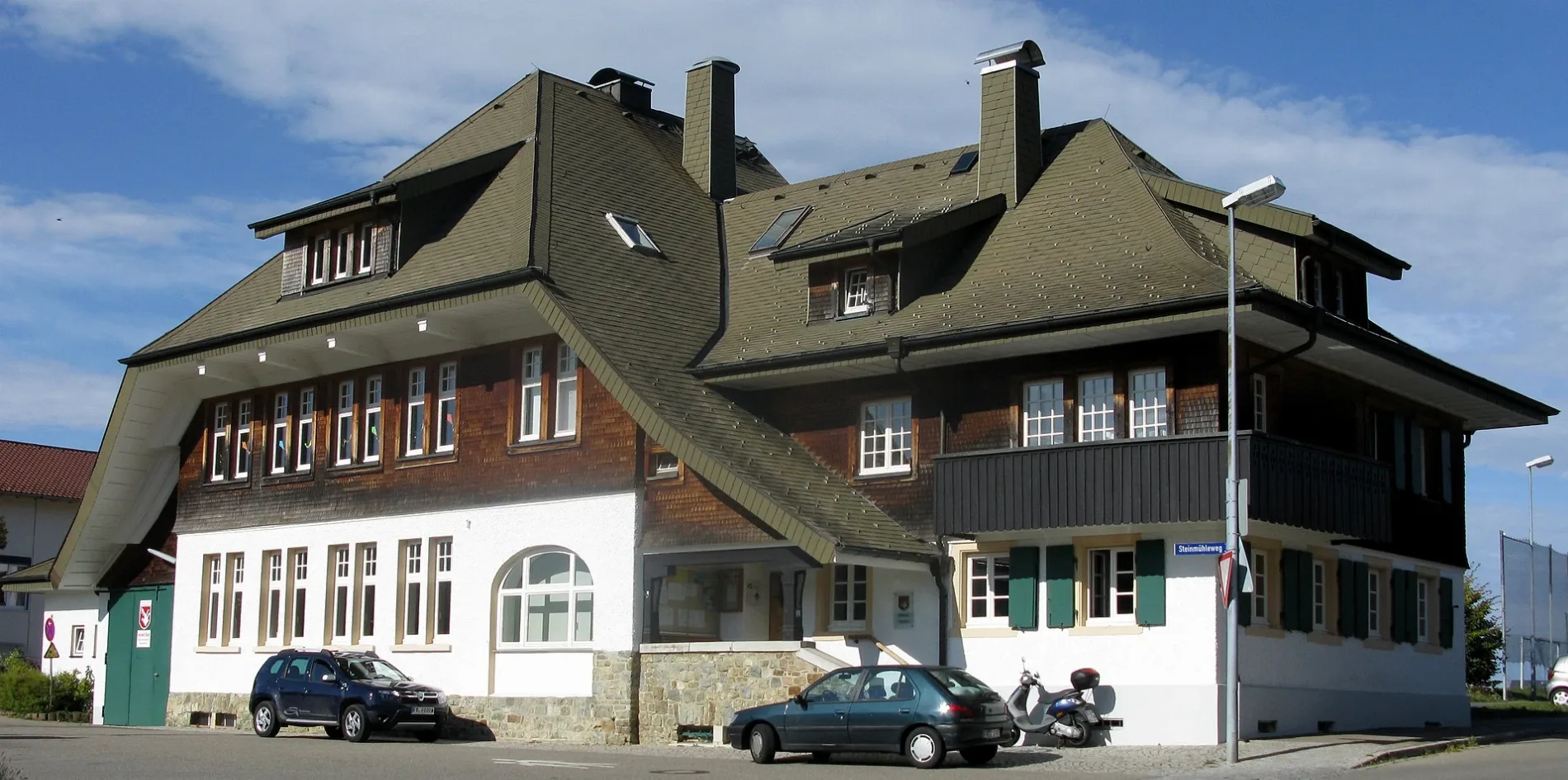
Bild
Feuerwachen
Carsharing-Stationen
Restaurants
Bushaltestellen
Haltestellen
Straßen in der Umgebung
HeubuckHeubuck 25, Heubuck
100 m
Gustav-Struve-Weg150 m
SteinmühlenwegHansmartihof, Feuerwehr Horben, Horben Rathaus, Steinmühle, Zähringerhof, Horben
200 m
Im Gründle300 m
Vogtsweg300 m
DorfstraßeHorben Rathaus, Gasthaus zum Raben, Ignazhof, Waibelhof
350 m
Wachtweg400 m
MühlewegAltvogtshof, Horben Vogtshof, Hintere Bohrermühle
450 m
LeimiwegVogtsweg
550 m
BühlhofwegBühlhof
550 m
BohrerstraßeTalstation Schauinslandbahn, Schauinslandbahn Talstation, Vogtsweg, Friedrichshof, FR31, Phonopassion
600 m
Am Hansehof600 m
Am FarnbergBohrer
750 m
LuisenhöhestraßeLUISE, Luisenhöhe
750 m
Bußweg800 m
Am LilianhofFriedrichshof
850 m
EngelwegLangackern
850 m
KarrwegKarrweg, Forsthaus Bohrer
900 m
Am Bohrerbach900 m
LangackernstraßeMerkerhof, Bläsihof, Engel
900 m
SchauinslandstraßeKüchlin
1000 m
Grubenwaldweg1,0 km
MünzenriedwegSalpeterbuck, Jochhaus, Eduardshöhe, Gasthaus zum Buckhof, Buckhof
1,2 km
MaienackerwegMainackerhof
1,3 km
EckhofwegMainackerhof, Gerstenhalm, Eckhof, Eckhof Hoflädele
1,3 km
Bahnhöfe in der Umgebung
Talstation Schauinslandbahn600 m
Bauernhöfe in der Umgebung
Schluckenhof250 m
Hansenhof550 m
Reesenhof650 m
Forsthaus Bohrer800 m
Lilianhof850 m
Betriebsgebäude in der Umgebung
Hochbehälter Horben Dorf800 m
Hochbehälter Münzenried1,3 km
Bäche in der Umgebung
Bohrerbach650 m
Selzenbächle650 m
Dießendobelbach750 m
Sägendobelbach950 m
Klausenbach1,4 km
Cafés in der Umgebung
Dorfchalet Horben300 m
Gebäude in der Umgebung
Friedrichshof900 m
Holz-Skulpturen und Bänke/Tische1,1 km
Haus Salpeterhöhe1,2 km
Gotteshäuser in der Umgebung
St. Agatha200 m
Hotels in der Umgebung
Gasthaus zum Raben300 m
Rathäuser in der Umgebung
Gemeindeverwaltung Horben100 m
Wohngebiete in der Umgebung
Horben100 m
Lochhäusle550 m
Bohrer700 m
Öffentliche Gebäude in der Umgebung
Katholisches Gemeindehaus100 m
 ÖPNV-Stadtplan Horben Legende
| Bahn | |
| Bus | |
| Straßenbahn |
 Fahrradstadtplan Horben Legende
| Radweg | |
| Fahrradspur auf der Fahrbahn | |
| Radfahren auf der Busspur | |
| Fahrradstraße | |
| Für Radfahrer frei | |
| Für Radfahrer frei, guter Weg | |
| Radfahren verboten | |
| Kopfsteinpflaster |
| Fernradweg | (je nach Maßstab) | |
| Fernradweg |
 Fußgängerstadtplan Horben Legende
| Pfad |
| Fernwanderweg | (je nach Maßstab) | |
| Fernwanderweg | ||
| Fußgänger verboten |