
Kronesstraße in Katastralgemeinde Maria Anzbach
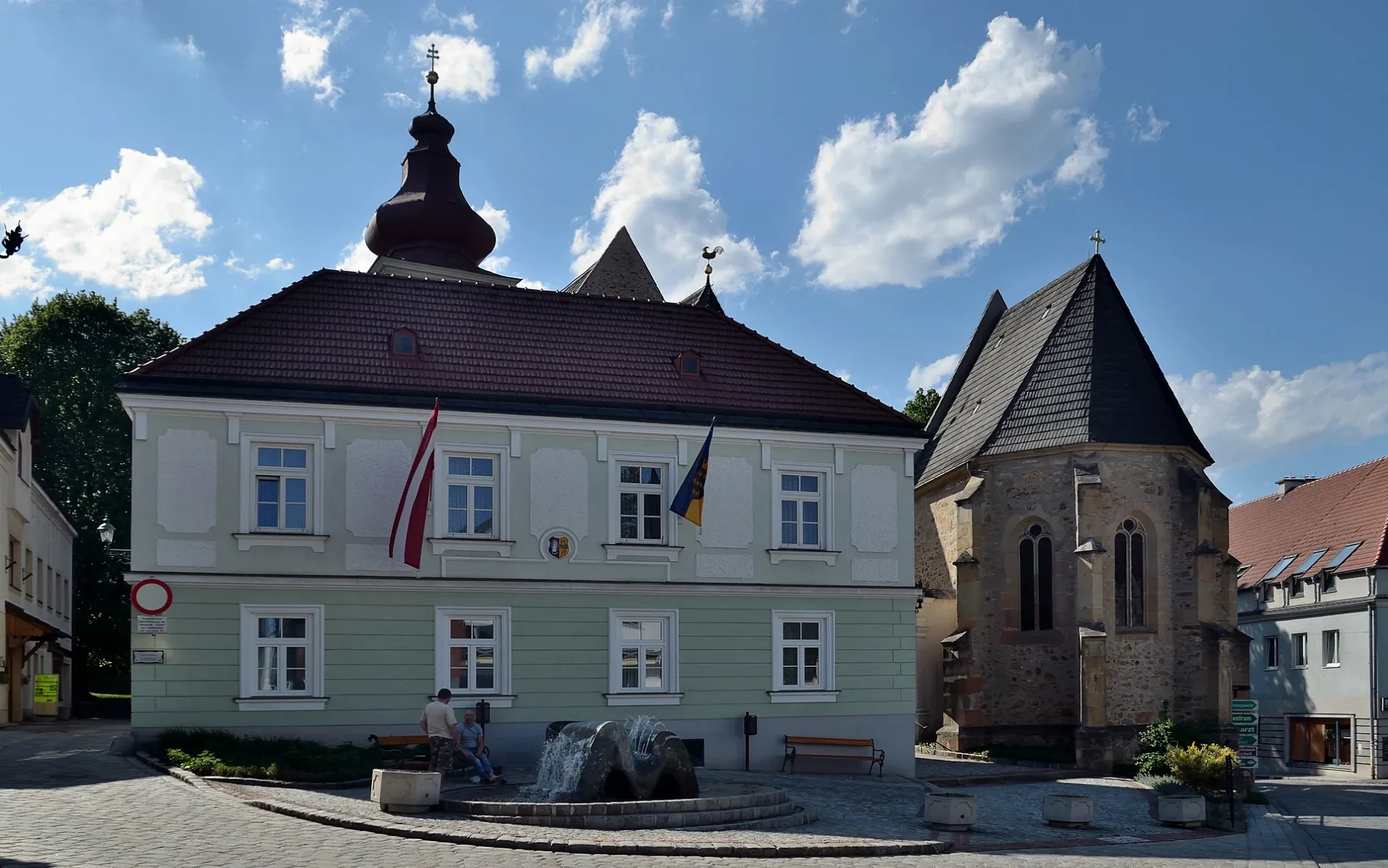
Die Kronesstraße in Maria Anzbach ist eine asphaltierte Wohnstraße. Sie verläuft in Südost-Nordwest-Richtung von der Schwabstraße kommend und kreuzt die Wienerwaldgasse und die Kokoschkagasse. Die nächste Bushaltestelle in der Nähe ist Maria Anzbach Friedhof (ca. 250 m entfernt). Diese Straße ist Teil von Wanderweg „Maria Anzbach - Götzwiesen".
- Straßentyp
- Wohnstraße
- Verlauf
- Südost-Nordwest
Bild
Restaurants
Stationen
Bushaltestellen
Straßen in der Umgebung
Kokoschkagasse50 m
Mozartgasse150 m
Pfarrsiedlungsweg150 m
Alte Bahngasse150 m
Kurze Gasse200 m
Wienerwaldgasse200 m
PurkersdorferstraßeMaria Anzbach Friedhof, Dorf Café Maria Anzbach, 3034 Maria Anzbach
250 m
Friedhofstiege250 m
KoboldgasseMaria Anzbach
250 m
Schöffelgasse250 m
Friedhofsweg250 m
Maria Anzbach Friedhof300 m
MarktplatzGemeindeamt Maria Anzbach
300 m
Pfarrgasse350 m
NeulengbacherstraßeGasthaus Wienerwald Stub'n, Maria Anzbach Schwabstraße
400 m
Engilrickgasse400 m
Maria Anzbach Volksschule400 m
Brauhausgasse400 m
Schwabstraße400 m
Schmiedgasse400 m
Brucknerstraße400 m
RehgartenstraßeMaria Anzbach Volksschule
450 m
Schubertgasse500 m
Fichtengasse500 m
Stiegenpromenade500 m
Franzosenweg550 m
HeitzingerstraßeHeitzing
650 m
Stiftergasse700 m
Hamerskystraße750 m
Waggerlgasse750 m
Arztpraxen in der Umgebung
Dr. Tenora450 m
Bäche in der Umgebung
Anzbach550 m
Eisenbahnstrecken in der Umgebung
Westbahn200 m
Elektronikgeschäfte in der Umgebung
Elektro Ritzengruber250 m
Gebäude in der Umgebung
Pfarrhof300 m
ehem. Gemeindeamt300 m
Pfarrheim350 m
Karner350 m
Altes Feuerwehrhaus400 m
Alte Schmiede400 m
Alte Mühle Anzbach450 m
Schönbeckmühle450 m
Gotteshäuser in der Umgebung
Pfarrkirche350 m
Kindergärten in der Umgebung
Kindergarten350 m
Recyclingpunkte in der Umgebung
Bauhof Gemeinde Maria Anzbach550 m
Restaurants in der Umgebung
Zum goldenen Löwen300 m
Schulgebäude in der Umgebung
Volksschule300 m
Sportplätze in der Umgebung
1. SV Maria Anzbach600 m
Sonstiges in der Umgebung
Marienplatz300 m
 ÖPNV-Stadtplan Katastralgemeinde Maria Anzbach Legende
 | Bahn | |
| Bus | |
| Straßenbahn |
 Fahrradstadtplan Katastralgemeinde Maria Anzbach Legende
 | Radweg | |
| Fahrradspur auf der Fahrbahn | |
| Radfahren auf der Busspur | |
| Fahrradstraße | |
| Für Radfahrer frei | |
| Für Radfahrer frei, guter Weg | |
| Radfahren verboten | |
| Kopfsteinpflaster |
| Fernradweg | (je nach Maßstab) | |
| Fernradweg |
 Fußgängerstadtplan Katastralgemeinde Maria Anzbach Legende
 | Pfad |
| Fernwanderweg | (je nach Maßstab) | |
| Fernwanderweg | ||
| Fußgänger verboten |