
Friedhofstraße in Münchenbernsdorf
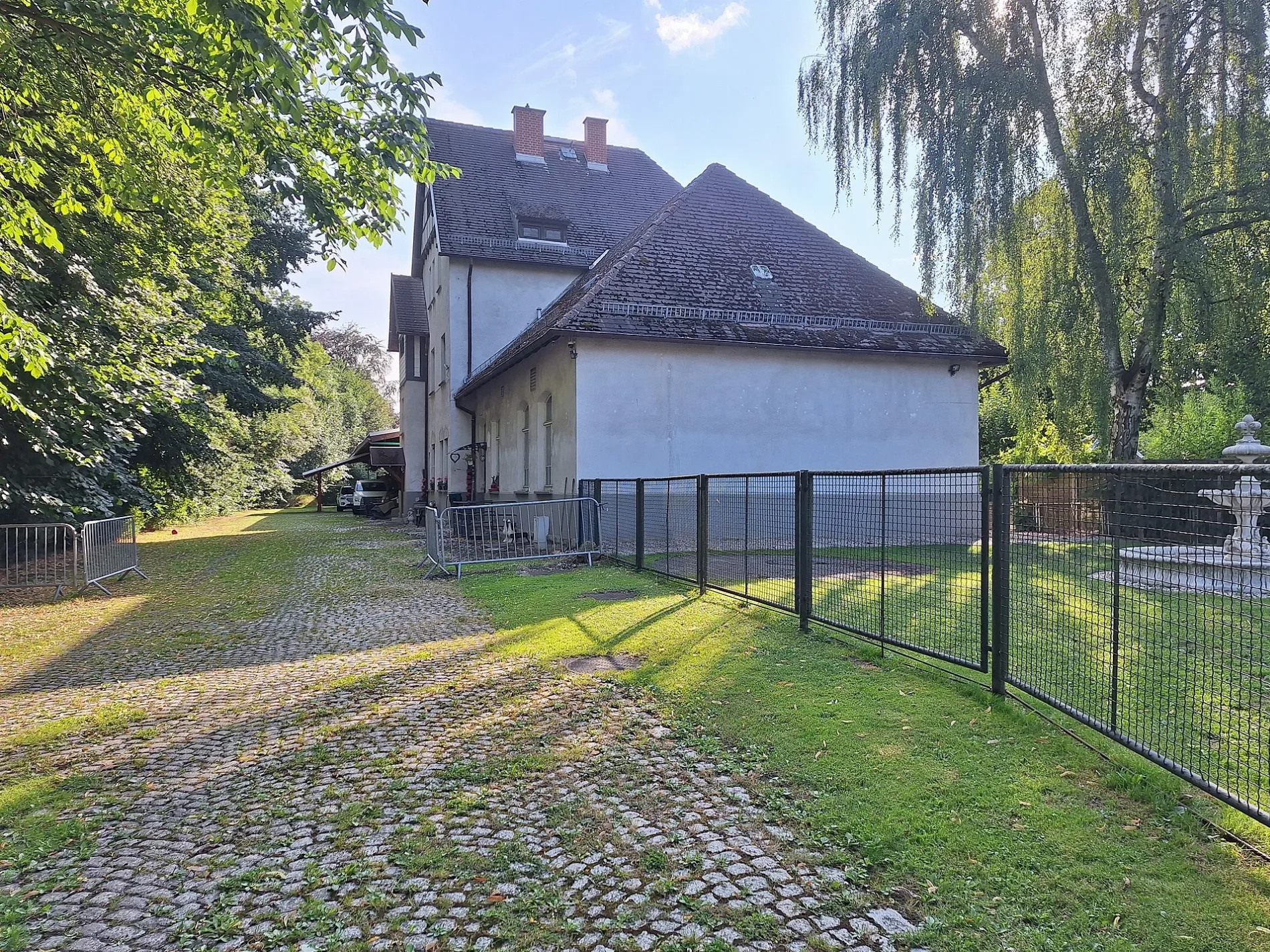
Die Friedhofstraße in Münchenbernsdorf ist eine asphaltierte Wohnstraße. Die nächste Haltestelle in der Nähe ist Münchenbernsdorf, Karl-Liebknecht-Straße Hst. 2 (ca. 250 m entfernt). Eine Friedhofstraße gibt es auch in Weida und Langenwetzendorf.
- Straßentyp
- Wohnstraße
Bild
Restaurants
Apotheken
Feuerwachen
Bushaltestellen
Bahnsteige
Hotels
Bibliotheken
Banken
Straßen in der Umgebung
Markt150 m
Kirchgasse200 m
Breite Straße200 m
Rodaer StraßeRestaurant Reichspost
200 m
Goethestraße200 m
Schenkgasse200 m
Geraer StraßeMünchenbernsdorf, Schützenplatz
200 m
Untere Bachgasse200 m
Kirchtal200 m
Marktstraße200 m
Karl-Liebknecht-StraßeMünchenbernsdorf, Karl-Liebknecht-Straße, Münchenbernsdorf, Karl-Liebknecht-Straße Hst. 2, Münchenbernsdorf, Karl-Liebknecht-Straße Hst. 1
200 m
Hospitalstraße250 m
Am EichbergHotel Am Eichberg
250 m
Kirchberg250 m
Wiesenstraße300 m
Kurze Straße300 m
Kleine SchloßstraßeBibliothek Münchenbernsdorf
300 m
Schillerplatz300 m
Alfred-Brehm-StraßeStadt-Apotheke
300 m
Straße des Jugendrotkreuzes300 m
Bergstraße300 m
Dr.-Wilhelm-Külz-Straße350 m
SchloßstraßeMünchenbernsdorf, Wartehalle, Münchenbernsdorf
350 m
Hinter der Mauer350 m
WindmühlenstraßeMünchenbernsdorf, Windmühlstraße, Münchenbernsdorf, Fröbelstraße
400 m
Gerbergasse400 m
Karl-Marx-Platz400 m
Roter Hof400 m
Adolf-Damaschke-Straße400 m
Bahnhofstraße400 m
AkazienstraßeVolksbank eG
450 m
Friedrich-Fröbel-Straße450 m
Brühl450 m
Weidaer Weg500 m
Gartenstraße500 m
EichertstraßeAm Steintisch, Förstel Eck
550 m
Kleinbockaer Straße550 m
Reichertsberg600 m
Ludwig-Jahn-Straße600 m
Großbockaer StraßeMünchenbernsdorf, Bockaer Höhe
650 m
Weidaer Straße650 m
Hohe Straße700 m
Jenaer StraßeMünchenbernsdorf, Akazienstraße, Landbäckerei Triebmann
700 m
Gabelsberger StraßeSportlerheim, Münchenbernsdorf, Hohe Straße
750 m
Dorfwiesen in der Umgebung
Schützenplatz350 m
Gemeinschaftszentren in der Umgebung
Kulturhaus Münchenbernsdorf350 m
Gotteshäuser in der Umgebung
Stadtkirche Sankt Mauritius200 m
Schulgebäude in der Umgebung
Staatliche Grundschule Münchenbernsdorf300 m
Supermärkte in der Umgebung
diska500 m
 ÖPNV-Stadtplan Münchenbernsdorf Legende
 | Bahn | |
| Bus | |
| Straßenbahn |
 Fahrradstadtplan Münchenbernsdorf Legende
 | Radweg | |
| Fahrradspur auf der Fahrbahn | |
| Radfahren auf der Busspur | |
| Fahrradstraße | |
| Für Radfahrer frei | |
| Für Radfahrer frei, guter Weg | |
| Radfahren verboten | |
| Kopfsteinpflaster |
| Fernradweg | (je nach Maßstab) | |
| Fernradweg |
 Fußgängerstadtplan Münchenbernsdorf Legende
 | Pfad |
| Fernwanderweg | (je nach Maßstab) | |
| Fernwanderweg | ||
| Fußgänger verboten |