
Meerkamp in Ochtersum Ostochtersum
Der Meerkamp in Ostochtersum in Ochtersum ist eine Wohnstraße. Diese Straße liegt an der Fahrradroute „64-68 🔗".
- Straßentyp
- Wohnstraße
Bild
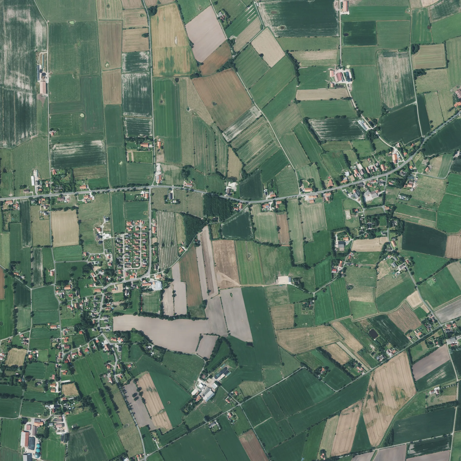
Bushaltestellen
Straßen in der Umgebung
Kiesweg350 m
Schoolpad500 m
Am Rendel500 m
Dorfweg550 m
Polderweg600 m
Up De Warf600 m
Krummer Weg600 m
Gerhard Gerdes Straße600 m
Habkehöchter Weg650 m
Voßbargbültenweg700 m
Hustehnweg750 m
HeidwegOstochtersum
750 m
Steener Weg750 m
Heideweg800 m
Süderhörner Weg1000 m
Negenmeertener Straße1000 m
KarkackerwegFreiwillige Feuerwehr Ochtersum
1,0 km
Wallumer Weg1,1 km
Hemsteder WegBarkholt Mitte
1,1 km
Goldbachweg1,3 km
Trammstraße1,3 km
Boßelweg1,3 km
Karkacherweg1,4 km
Fulkumer Weg1,4 km
Harkefelder Weg1,4 km
Bonisweg1,5 km
Moorweg1,5 km
Esenser StraßeWestochtersum, Auto Claassen, West-Ochtersum (Ostfriesl.) Esenser Straße
1,6 km
Maisweg1,6 km
Frau-Ennichen-Helmer-Weg1,7 km
Achterumsweg1,7 km
KönigswegKlosterschoo, Leegmoorweg, Ferienhof Eschen
1,8 km
Siefke-Kunstreich-Straße1,8 km
Pommernstraße1,8 km
Ochtersumer Weg1,9 km
Pennackerweg1,9 km
Friesenstraße1,9 km
Westerschooer StraßeWesterschoo
1,9 km
Hammerweg1,9 km
Broukerweg2,0 km
LinienwegNeuapostolische Kirche, Wienholz
2,1 km
Voßhörner Weg2,1 km
Frau-Ennichen-Helmer2,2 km
SchaftriftFreese, Grundschule
2,2 km
Bäche in der Umgebung
Ochtersumer Tief500 m
Moorthee1,2 km
Ferienwohnungen in der Umgebung
Ferienwohnungen Voßhörnerhof2,1 km
Sportplätze in der Umgebung
Sportplatz250 m
Stadien in der Umgebung
Reiterhof Voßhörnerhof2,2 km
 ÖPNV-Stadtplan Ostochtersum Legende
 | Bahn | |
| Bus | |
| Straßenbahn |
 Fahrradstadtplan Ostochtersum Legende
 | Radweg | |
| Fahrradspur auf der Fahrbahn | |
| Radfahren auf der Busspur | |
| Fahrradstraße | |
| Für Radfahrer frei | |
| Für Radfahrer frei, guter Weg | |
| Radfahren verboten | |
| Kopfsteinpflaster |
| Fernradweg | (je nach Maßstab) | |
| Fernradweg |
 Fußgängerstadtplan Ostochtersum Legende
 | Pfad |
| Fernwanderweg | (je nach Maßstab) | |
| Fernwanderweg | ||
| Fußgänger verboten |