
Floriansweg in Buchholz
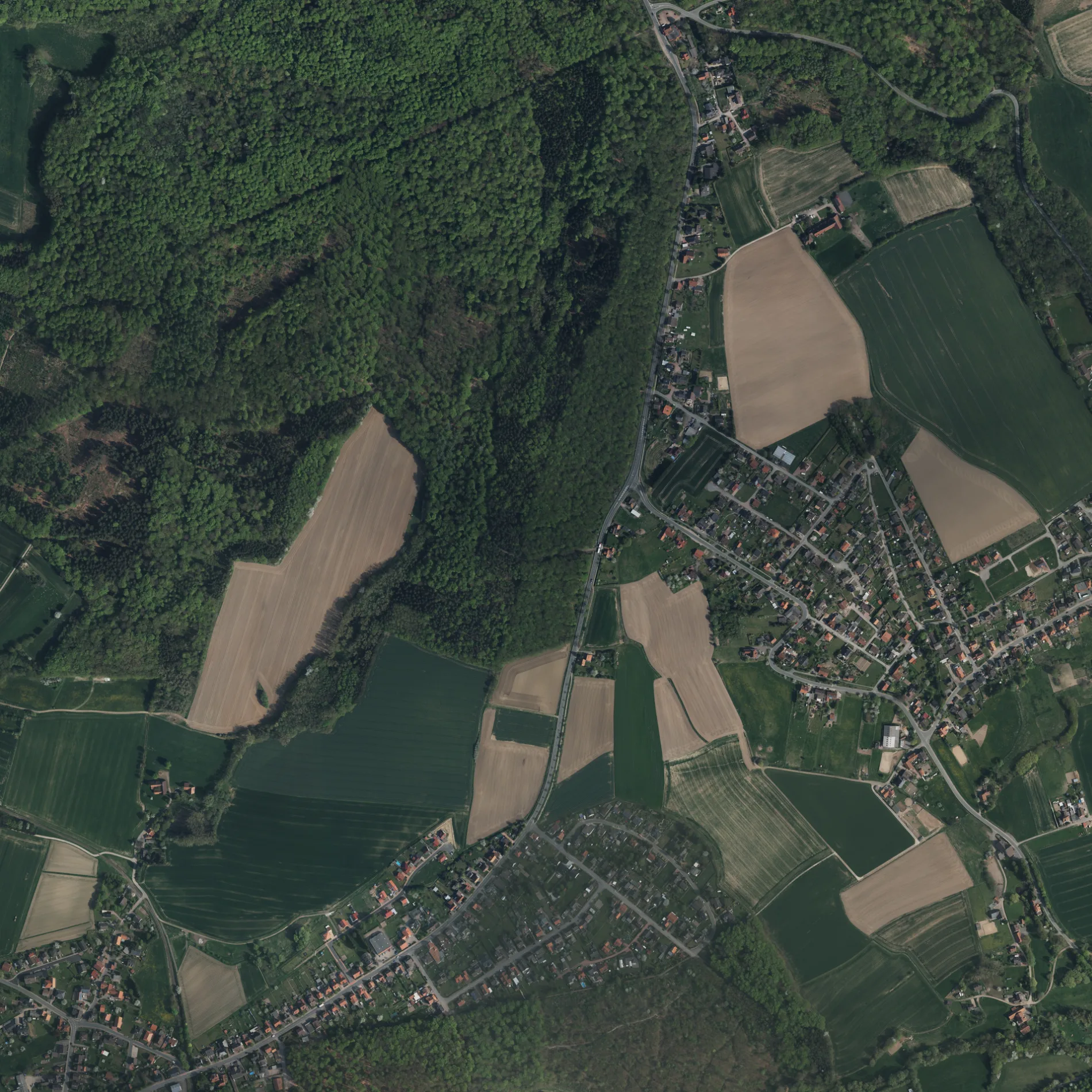
Der Floriansweg in Buchholz ist eine asphaltierte Wohnstraße. Die nächste Bushaltestelle in der Nähe ist Buchholz, Bahnhofstraße (ca. 0 m entfernt).
- Straßentyp
- Wohnstraße
Bild
Schuhgeschäfte
Straßen in der Umgebung
BahnhofstraßeBuchholz, Bahnhofstraße
50 m
Im Hofkamp250 m
Zum Schützenhaus300 m
Zum Eichkamp300 m
Im Osterfeld350 m
BückebergstraßeBuchholz, Talbrücke, Buchholz, Buchholz, Bückebergstraße, Wegener Schuhe
400 m
SchlingmühleBuchholz, Schlingmühle
450 m
Auf der Portugall450 m
HauptstraßeHeeßen, Krug, Heeßen, Siedlung
600 m
Waldstraße700 m
Neue StraßeBuchholz, Bückebergstraße
800 m
Am Walde900 m
Arensburger Mühle950 m
Arensburger Straße1000 m
Auestraße1,0 km
Am Fahrenplatz1,1 km
Zum BückebergSüße Mutter
1,2 km
Im Siek1,2 km
Fasanenweg1,2 km
Über den Höfen1,3 km
Im WiesengrundInformationstafel, Klein Eilsen
1,3 km
Lerchenweg1,3 km
Am Försterkamp1,4 km
Messingbergstraße1,4 km
Kantstraße1,4 km
Am Hang1,5 km
SchulstraßeHeeßen Grundschule
1,5 km
Bachstraße1,5 km
Fröbelweg1,5 km
Bückeburger StraßeAlter Bahnhof
1,6 km
Rintelner StraßeSteinbergen Am Kehlbrink, Steinbergen, Bahnhof Steinbergen
1,6 km
Bergstraße1,7 km
Am Kehlbrink1,7 km
Hohlweg1,7 km
BeekebreiteSteinbergen
1,7 km
Bahnsteige in der Umgebung
Bahnhof Steinbergen1,5 km
Felsen in der Umgebung
Hirschkuppe1,5 km
Feuerwachen in der Umgebung
Feuerwehr Buchholz50 m
Flüsse in der Umgebung
Bückeburger Aue300 m
Gebäude in der Umgebung
Schützengilde Buchholz e.V.300 m
Hof Wecke750 m
Schloss Arensburg800 m
Hochbehälter Hirschkuppe1,0 km
Dirk Hasse e.K. Agrar Service1,1 km
Schützenhaus1,3 km
Umspannwerk Heeßen1,4 km
Geschäftsgebäude in der Umgebung
Tischlerei Erst Meier250 m
Gotteshäuser in der Umgebung
Das Haus der Religionen850 m
Hotels in der Umgebung
Heeßer Krug1,2 km
 ÖPNV-Stadtplan Buchholz Legende
 | Bahn | |
| Bus | |
| Straßenbahn |
 Fahrradstadtplan Buchholz Legende
 | Radweg | |
| Fahrradspur auf der Fahrbahn | |
| Radfahren auf der Busspur | |
| Fahrradstraße | |
| Für Radfahrer frei | |
| Für Radfahrer frei, guter Weg | |
| Radfahren verboten | |
| Kopfsteinpflaster |
| Fernradweg | (je nach Maßstab) | |
| Fernradweg |
 Fußgängerstadtplan Buchholz Legende
 | Pfad |
| Fernwanderweg | (je nach Maßstab) | |
| Fernwanderweg | ||
| Fußgänger verboten |