
Immenweg in Wietzen Holte
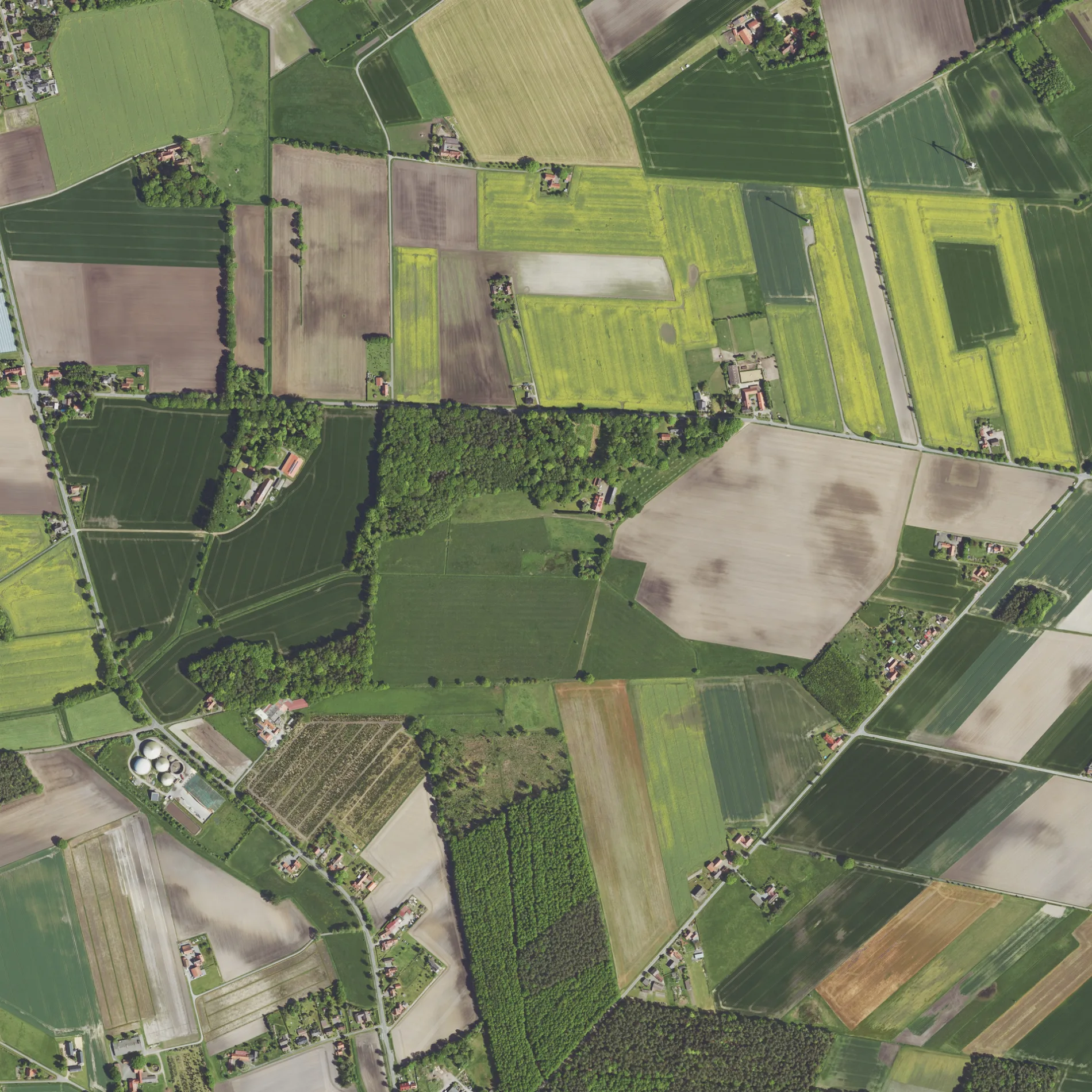
Der Immenweg in Holte in Wietzen ist eine Nebenstraße. Er verläuft in Ost-West-Richtung und endet an der Holter Straße, während das andere Ende eine Sackgasse ist. Die nächste Bushaltestelle in der Nähe ist Holte, Ziegelei (ca. 150 m entfernt). Einen Immenweg gibt es auch in Binnen.
- Straßentyp
- Nebenstraße
- Verlauf
- Ost-West
Bild
Touristeninformationen
Bushaltestellen
Straßen in der Umgebung
Holter StraßeHolte, Ziegelei, Holte, Moorheide, Holte, Abzweig Langeln, Holte Kreuzung, Holte, Weberkuhle, Holte, Weberkuhle Abzw.
200 m
Weg am Foßkamp600 m
Kirchweg1,1 km
Im Wohlde1,5 km
SchulstraßeHolte, Wald
1,6 km
Heidweg1,7 km
FoßkampstraßeHolte - Kirchstraße, Holte - Zum Foßkamp
1,7 km
Böxenbergstraße1,9 km
Moorheide2,0 km
Halenbecker Straße2,0 km
ForststraßeNeulohe, Abzweig Dolldorf, Neulohe - Forststraße
2,0 km
Steinheide2,2 km
Staffhorster StraßeNeulohe, B 6, B6
2,4 km
Steinbruchweg2,4 km
Grüne Straße2,5 km
Bremer StraßeMarklohe, Abzw. Wohlenhausen, Abzweig Wohlenhausen, Sudhalenbeck, Alte B 6
2,7 km
Großer Heideweg2,7 km
Holter Weg2,8 km
Pietschstraße2,8 km
Alte Staffhorster Straße2,8 km
Heidestraße2,9 km
Am Kreuzbach2,9 km
HauptstraßePennigsehl, Nord, Pennigsehl, Pennigsehl, Trafo, Kindertagesstätte Hummelhütte, Außenstelle, Pennigsehl, Mitte, Mußmann's Backstube, Pennigsehl, Alte Dorfstraße
2,9 km
Sulinger StraßePennigsehl, Abzweig B214
3,0 km
Wohlenhauser Straße3,0 km
Große BruchstraßeWietzen, Katzenberg, Große Bruchstraße, Wietzen, Mützengrund
3,0 km
An der Triebje3,0 km
Am Steinkamp3,1 km
Liebenauer Weg3,2 km
Nienburger Weg3,2 km
Siedenburger StraßeLangeln, Siedenburger Straße, Langeln, Abzweig Harbergen, R02H40A1
3,2 km
Bötenberger Straße3,3 km
Bergerhöper Weg3,3 km
Bötenberger Heerstraße3,4 km
Wiesenweg3,5 km
Heyer Weg3,5 km
Baumschulenweg3,6 km
SteinlageGlissen, Nord
3,6 km
TeichwegGlissen, Ort
3,6 km
Am Paßfeld3,7 km
Bäche in der Umgebung
Kreuzbach2,3 km
Blenhorster Bach2,9 km
Feuerwachen in der Umgebung
Freiwillige Feuerwehr Holte-Langeln1,9 km
Gebäude in der Umgebung
Forsthaus Weberkuhle1,6 km
Hochbehälter Holterheide2,4 km
Gräben in der Umgebung
Speckenbach2,6 km
Triebjebach3,2 km
Ochsenbach3,3 km
Wohnmobilstellplätze in der Umgebung
Unser kleiner Hof Wohnmobilstellplatz2,2 km
 ÖPNV-Stadtplan Holte Legende
| Bahn | |
| Bus | |
| Straßenbahn |
 Fahrradstadtplan Holte Legende
| Radweg | |
| Fahrradspur auf der Fahrbahn | |
| Radfahren auf der Busspur | |
| Fahrradstraße | |
| Für Radfahrer frei | |
| Für Radfahrer frei, guter Weg | |
| Radfahren verboten | |
| Kopfsteinpflaster |
| Fernradweg | (je nach Maßstab) | |
| Fernradweg |
 Fußgängerstadtplan Holte Legende
| Pfad |
| Fernwanderweg | (je nach Maßstab) | |
| Fernwanderweg | ||
| Fußgänger verboten |