
Kreuzweg in Großefehn Strackholt
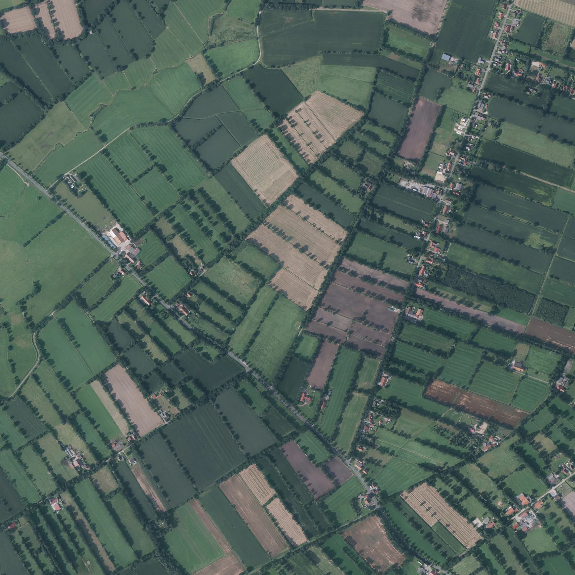
Der Kreuzweg in Strackholt in Großefehn ist ein Feldweg.
- Straßentyp
- Feldweg
Bild
Bushaltestellen
Straßen in der Umgebung
Gooshalsweg500 m
Südhörner StraßeSüdhörn
550 m
Körtmoor I550 m
Hopkesweg750 m
Bobenmeedeweg950 m
Fiebinger Straße1000 m
Bietzweg1000 m
Leekenweg1000 m
Leyweg1,1 km
Körtweg1,3 km
Zwischenberger Weg1,4 km
Unlander StraßeUnlander Straße 15/26, Unlander-/Neufirreler Straße
1,4 km
Am Ossensett1,5 km
Ossensettweg1,5 km
Neulandsweg1,6 km
Steenker Weg1,6 km
Timpende1,6 km
Haver Weg1,6 km
Broeksweg1,6 km
Im Butendahl1,7 km
Birkenweg1,7 km
Siedlungsstraße1,7 km
Eckackersweg1,8 km
Ostermeedenweg1,8 km
Timpender Weg1,9 km
Looger Straße1,9 km
Am Butendahlacker1,9 km
Schulstraße1,9 km
Ossenkampweg2,0 km
Sandackersweg2,1 km
Bullhörner Weg2,2 km
Strackholt Ort8
2,2 km
Hohe TheeStrackholt Ort
2,2 km
LindenstraßeKoopweg
2,2 km
Hinter der KircheStrackholt
2,2 km
Dobbenende2,3 km
Hinter der Pastorei2,3 km
Abläufe in der Umgebung
Ossensettschloot1,6 km
Bäche in der Umgebung
Leekentief450 m
Bagbander Tief (Witthaver Tief)1,3 km
Bietze1,7 km
Ossenkampschloot1,9 km
Gebäude in der Umgebung
Glockenturm2,3 km
Gotteshäuser in der Umgebung
Barbara-Kirche2,3 km
Restaurants in der Umgebung
Gaststätte Meinen2,3 km
Schnellrestaurants in der Umgebung
Zana's2,3 km
Supermärkte in der Umgebung
Dorfladen Strackholt2,3 km
Wanderreitstationen in der Umgebung
Bietzhof1,1 km
Wälder in der Umgebung
Oldehaver Wald1,3 km
 ÖPNV-Stadtplan Strackholt Legende
 | Bahn | |
| Bus | |
| Straßenbahn |
 Fahrradstadtplan Strackholt Legende
 | Radweg | |
| Fahrradspur auf der Fahrbahn | |
| Radfahren auf der Busspur | |
| Fahrradstraße | |
| Für Radfahrer frei | |
| Für Radfahrer frei, guter Weg | |
| Radfahren verboten | |
| Kopfsteinpflaster |
| Fernradweg | (je nach Maßstab) | |
| Fernradweg |
 Fußgängerstadtplan Strackholt Legende
 | Pfad |
| Fernwanderweg | (je nach Maßstab) | |
| Fernwanderweg | ||
| Fußgänger verboten |