
Amselweg in Medlingen
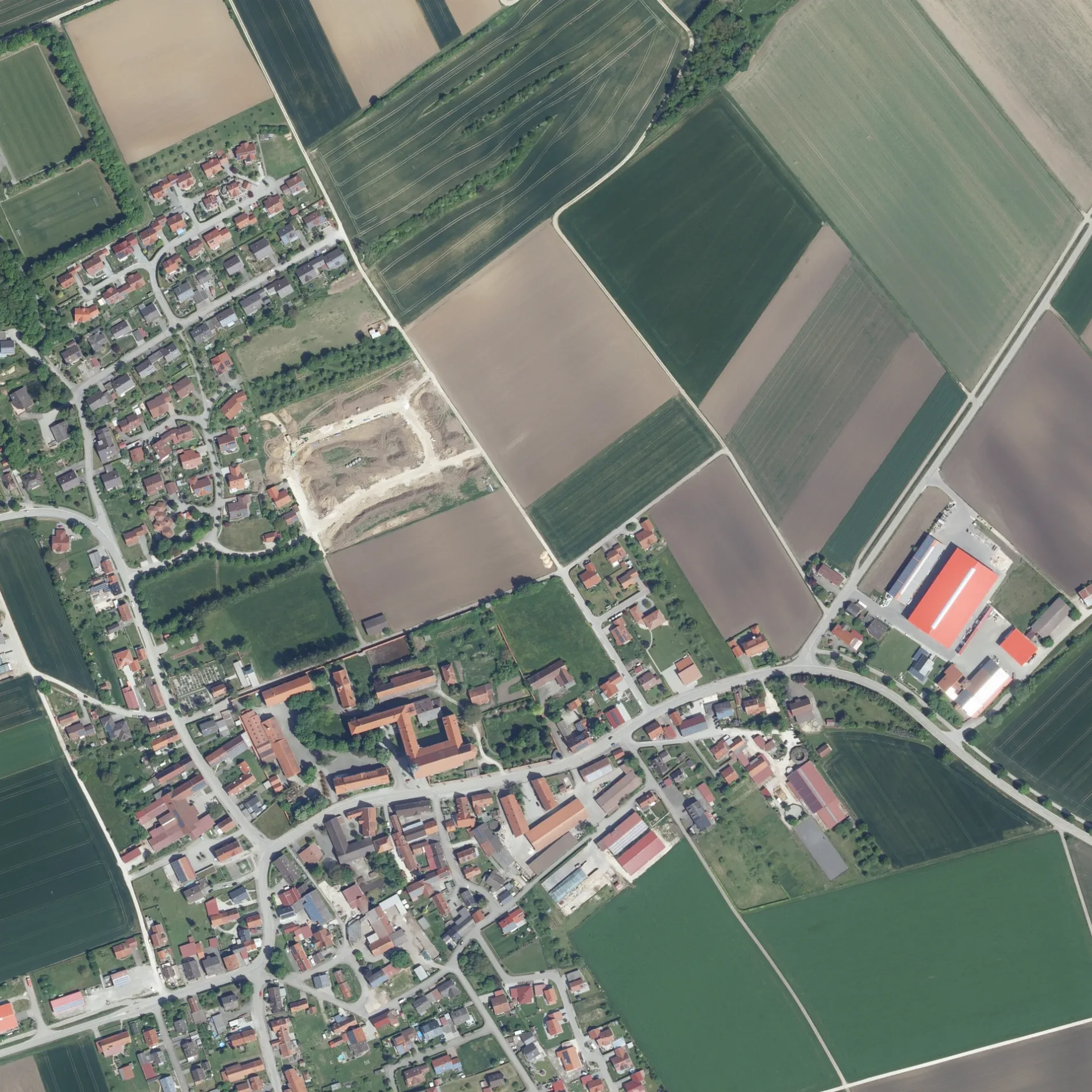
Der Amselweg in Medlingen ist eine asphaltierte Wohnstraße. Er verläuft in Südost-Nordwest-Richtung vom Finkenweg kommend und kreuzt den Drosselweg und den Lerchenweg und endet an der Römerstraße. Die nächste Bushaltestelle in der Nähe ist Obermedlingen (ca. 250 m entfernt). Einen Amselweg gibt es auch in Bächingen an der Brenz.
- Straßentyp
- Wohnstraße
- Verlauf
- Südost-Nordwest
Bild
Restaurants
Straßen in der Umgebung
Hansbauer-Weg100 m
Lerchenweg100 m
Finkenweg100 m
Drosselweg150 m
Römerstraße150 m
Auf dem Anger200 m
Kirchgasse200 m
Brenzer Straße300 m
Alemannenstraße300 m
Gartenstraße300 m
Wegelanger350 m
An der Wanne400 m
An den Turmäckern450 m
Weglanger450 m
An der Halde500 m
HauptstraßeObermedlingen, Maria, Hartmann Raumausstattung, Kreisfahrbücherei Obermedlingen
500 m
Untermedlinger Straße500 m
Am Klostergarten550 m
An der Linde550 m
Bächinger Straße650 m
Lorettostraße650 m
Kastenhausstraße750 m
Juraweg800 m
Am Kreuzberg800 m
Bergstraße850 m
Unterm Berg1,2 km
Medlinger Straße1,3 km
Heckenweg1,3 km
Am Riedburren1,4 km
VogtstraßeKreisfahrbücherei Untermedlingen
1,5 km
Am Lindenberg1,5 km
Hohlweg1,5 km
DorfstraßeUntermedlingen
1,6 km
Birkenweg1,8 km
Am Hochwehr1,9 km
Krautgartenweg1,9 km
Feuerwachen in der Umgebung
FFW Obermedlingen200 m
Gebäude in der Umgebung
Kloster Obermedlingen350 m
Stadler Media850 m
Gemeinschaftszentren in der Umgebung
Gemeindehalle950 m
Geschäftsgebäude in der Umgebung
Autohaus Zeller400 m
Gotteshäuser in der Umgebung
Mariä Himmelfahrt300 m
Loretokapelle450 m
Sankt Radigundis1,4 km
Häuser in der Umgebung
WagnerHof250 m
Kindergärten in der Umgebung
Kindergarten Medlingen600 m
Schuppen in der Umgebung
Bisonstall600 m
Wohngebiete in der Umgebung
Untermedlingen1,7 km
Sonstiges in der Umgebung
Klostermauer250 m
 ÖPNV-Stadtplan Medlingen Legende
| Bahn | |
| Bus | |
| Straßenbahn |
 Fahrradstadtplan Medlingen Legende
| Radweg | |
| Fahrradspur auf der Fahrbahn | |
| Radfahren auf der Busspur | |
| Fahrradstraße | |
| Für Radfahrer frei | |
| Für Radfahrer frei, guter Weg | |
| Radfahren verboten | |
| Kopfsteinpflaster |
| Fernradweg | (je nach Maßstab) | |
| Fernradweg |
 Fußgängerstadtplan Medlingen Legende
| Pfad |
| Fernwanderweg | (je nach Maßstab) | |
| Fernwanderweg | ||
| Fußgänger verboten |