
Nibelungenstraße in Dachau
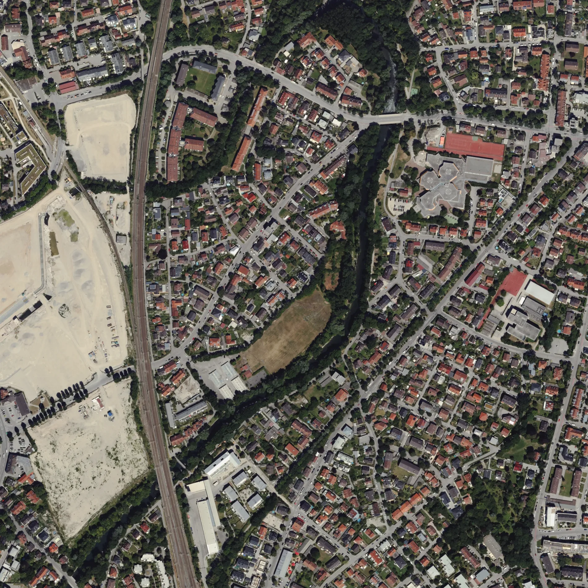
Die Nibelungenstraße in Dachau ist eine asphaltierte Wohnstraße (30 km/h). In der Umgebung befindet sich eine Touristeninformation. Die nächste Bushaltestelle in der Nähe ist Liegsalzstraße (ca. 50 m entfernt). Eine Nibelungenstraße gibt es auch in Karlsfeld.
- Straßentyp
- Wohnstraße
- Höchstgeschwindigkeit
- 30
Bild
Touristeninformationen
Straßen in der Umgebung
Tony-Binder-Straße100 m
Siegfriedweg100 m
Neufeldstraße150 m
Ida-Kerkovius-Weg150 m
Liegsalzstraße150 m
Amperweg200 m
PollnstraßeBuchenlandstraße, Hotel Götz, Pollnstraße, Liegnitzer Straße, Pollnstr., 85221 Dachau
200 m
Leonhard-Wanner-Straße200 m
FriedenstraßeSunline, Liegsalzstraße, Kucci, Feldiglstraße, Die Häftlingstransporte ins KZ Dachau
200 m
Erich-Ollenhauer-StraßeVeltenstraße, Josef-Effner-Gymnasium, Minh Minh, ATF Autoteile, Bäckerei Konditorei Wörmann
250 m
Ringstraße250 m
SteinstraßeSteinstraße
250 m
LärchenstraßeGruber Zweiradtechnik
350 m
Rosenstraße350 m
Theodor-Heuss-StraßeSchulzentrum, Theo´s, Stresemannstraße
350 m
Brunhildenstraße350 m
RoßwachtstraßeWeitblick-Jugendhilfe e. V. Dachau, La Bodega, Tierschutzverein Dachau
350 m
Plankenwiese350 m
Josef-Wirth-StraßeMesser Schleifservice Familienbetrieb Landsberger
350 m
Jupiterstraße400 m
Marsstraße400 m
Ostenstraße400 m
Fichtenstraße400 m
Eichenweg400 m
Isar-Amperwerke-StraßeGleisstück
400 m
Tannenweg450 m
Nordenstraße450 m
Pappelweg450 m
Südenstraße450 m
Krimhildenstraße500 m
Ulmenweg500 m
Birkenweg500 m
Erlenstraße500 m
ZweigstraßeGriechische Taverne Amperlust
550 m
Sägstraße550 m
Föhrenweg550 m
Buchengasse600 m
Ahornweg600 m
Emmy-Lenbach-Straße600 m
Veltenstraße600 m
Welschstraße600 m
Anton-Burgmaier-Straße700 m
Josef-Schmetterer-Straße750 m
Bäche in der Umgebung
Mühlbach500 m
Gebäude in der Umgebung
Nikolaus Lehner Pavillon450 m
Hostels in der Umgebung
Jugendgästehaus Dachau500 m
Hotels in der Umgebung
Max Mannheimer Haus450 m
Metzgereien in der Umgebung
Metzgerei Blank400 m
Polizeidienststellen in der Umgebung
Polizei Dachau400 m
 ÖPNV-Stadtplan Dachau Legende
 | Bahn | |
| Bus | |
| Straßenbahn |
 Fahrradstadtplan Dachau Legende
 | Radweg | |
| Fahrradspur auf der Fahrbahn | |
| Radfahren auf der Busspur | |
| Fahrradstraße | |
| Für Radfahrer frei | |
| Für Radfahrer frei, guter Weg | |
| Radfahren verboten | |
| Kopfsteinpflaster |
| Fernradweg | (je nach Maßstab) | |
| Fernradweg |
 Fußgängerstadtplan Dachau Legende
 | Pfad |
| Fernwanderweg | (je nach Maßstab) | |
| Fernwanderweg | ||
| Fußgänger verboten |