
Römerstraße in Riesbürg Utzmemmingen
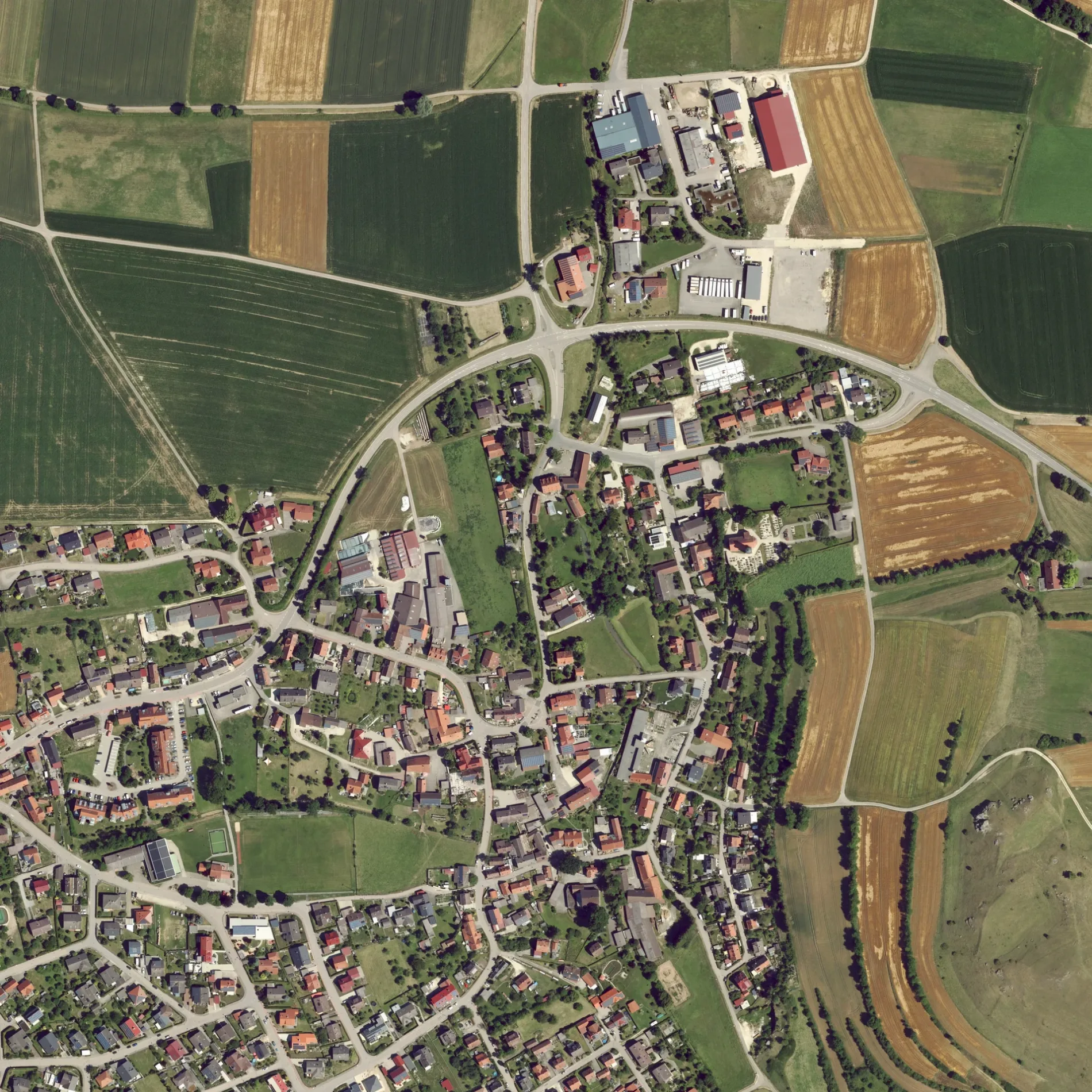
Die Römerstraße in Riesbürg ist eine asphaltierte Wohnstraße. Sie verläuft in Nord-Süd-Richtung von der Lange Straße kommend und kreuzt Platz von Esvres, die Jahngasse, die Weilerstraße, die Waldstraße, die Uhlandstraße und die Ofnetstraße. In der Umgebung befindet sich eine Fleischerei. Die nächste Bushaltestelle in der Nähe ist Hirsch (ca. 250 m entfernt). Eine Römerstraße gibt es auch in Bopfingen. Diese Straße liegt an den Fahrradrouten Ries 1A 🔗 und Mozartrunde 🔗 sowie der Wanderweg „Nördlingen - Utzmemmingen".
- Straßentyp
- Wohnstraße
- Verlauf
- Nord-Süd
Bild
Fleischereien
Straßen in der Umgebung
Jahngasse100 m
Weilerstraße150 m
Uhlandstraße150 m
Waldstraße150 m
Silcherstraße200 m
Buchenweg200 m
BrunnenstraßeAdler
200 m
Hegelstraße250 m
Platz von EsvresHirsch, Gasthaus Ochsen
250 m
Ofnetstraße300 m
Pfarrstraße300 m
Tannenweg300 m
Lange StraßeUtzmemmingen
300 m
Finkenweg300 m
Mozartstraße350 m
Mörikestraße350 m
GoethestraßeFreiwillige Feuerwehr Riesbürg - Abteilung Utzmemmingen, Katholischer Kindergarten St. Josef
350 m
Kirchenweg400 m
Röhrbachpark400 m
Bachweg450 m
Lessingstraße500 m
Lindenstraße500 m
Kapellenweg500 m
Eichendorffweg500 m
Walkstraße550 m
Schubartstraße550 m
Aalener StraßeUtzmemmingen Post, Delias, Metzgerei Winter, Raiffeisen-Volksbank, Ringlesmühle
600 m
Rosenstraße600 m
Kantstraße650 m
Nördlinger StraßeRiesblick
650 m
Mühlstraße650 m
Beethovenstraße650 m
SchlagäckerWanderparkplatz
700 m
Siemensstraße750 m
An der Eger850 m
Walkmühlweg900 m
Bäche in der Umgebung
Maienbach350 m
Gebäude in der Umgebung
Römerhalle350 m
Gasthof Riesblick650 m
Gotteshäuser in der Umgebung
St. Martin500 m
Gräben in der Umgebung
Arlachgraben900 m
Industriegebiete in der Umgebung
Wasserschutzgebiet-Fassung1,0 km
Naturschutzgebiete in der Umgebung
Riegelberg700 m
Sehenswürdigkeiten in der Umgebung
Villa Rustica1,3 km
Sportplätze in der Umgebung
Fußballplatz300 m
TC Riesbürg750 m
Sonstiges in der Umgebung
Wirtschaftsgebäude1,3 km
Wohnhaus1,3 km
Bad1,3 km
 ÖPNV-Stadtplan Utzmemmingen Legende
 | Bahn | |
| Bus | |
| Straßenbahn |
 Fahrradstadtplan Utzmemmingen Legende
 | Radweg | |
| Fahrradspur auf der Fahrbahn | |
| Radfahren auf der Busspur | |
| Fahrradstraße | |
| Für Radfahrer frei | |
| Für Radfahrer frei, guter Weg | |
| Radfahren verboten | |
| Kopfsteinpflaster |
| Fernradweg | (je nach Maßstab) | |
| Fernradweg |
 Fußgängerstadtplan Utzmemmingen Legende
 | Pfad |
| Fernwanderweg | (je nach Maßstab) | |
| Fernwanderweg | ||
| Fußgänger verboten |